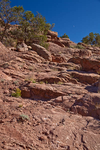
Canyon de Chelley National Monument is located in northeastern Arizona near the town of Chinle. There are over 2700 archeological structures and cliff dwellings in this area, though only a few have been made structurally sound to allow visitors. Only one trail is open to the general public, but there are numerous guides available for further explorations in the monument.
We had only a couple of hours to explore , and we did so from the Rim Road probably the most popular way to see the Monument, though truly one sees only a fraction of the Canyons from this vantage point. The next time I visit Canyon de Chelley, I will plan enough time to employ a native guide and truly see the wonders of this remarkable area.
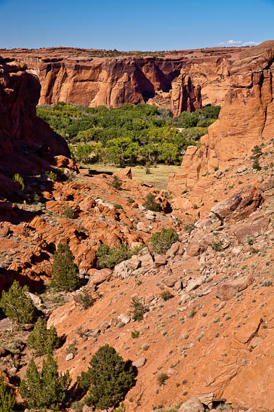
This photo was taken from a trail off the South Rim Drive at Tunnel Lookout. Just barely visible is the bottom of the canyon with trees and a grassy pasture. Canyon de Chelly is unique among all the National Park units in that it is entirely in the Navajo Tribal Trust Land. The National Park Service has a partnership with the Navajo Nation to manage park resources and approximately forty Navajo families live within the boundaries of the National Monument.
The monument encompasses approximately 84,000 acres of lands located entirely on the Navajo Nation. The monument covers 131 square miles and encompasses the floors and rims of the three major canyons — Canyon de Chelly, Canyon del Muerto, and Monument Canyon. It is a vast area. See the tiny specks of blue in the photograph – two visitors at the lookout from which I had earlier taken the above photographs.


