Tumacacori

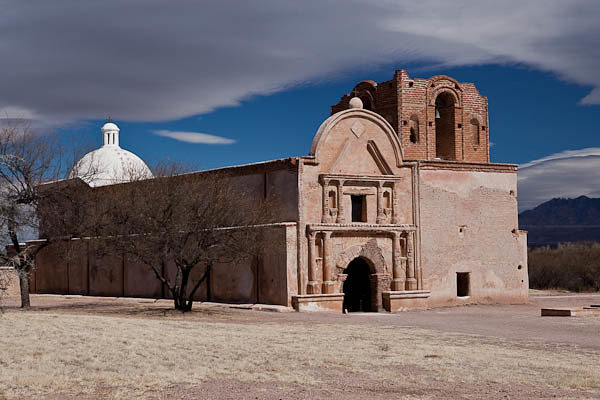
San Jose de Tumacacori Mission Church

San Jose de Tumacacori Mission Church © 2011 Bo Mackison

I’ve spent a couple of days visiting the Tumacacori National Historical Park in Tumacacori Arizona, a tiny village about 50 miles south of Tucson.

The mission of San José de Tumacácori  was founded in 1691 by a Jesuit missionary, Father Eusebio Francisco Kino. The Spanish mission was built on the site of a Pima Indian village.
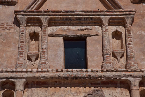
 

Detail of Tumacacori Exterior

Detail of Tumacacori Mission Church © 2011 Bo Mackison

Construction began on the massive adobe church in 1800, but it was never completed. The people who lived at the Tumacacori mission eventually moved northward and settled at the Mission San Xavier del Bac in Tucson, another of the more than twenty mission sites founded in the southern Arizona and northern Mexico by Father Kino.

The exterior of the church was originally painted bright colors–yellows and reds, and detailed with black. It was a most impressive structure to the indigenous people who visited the mission.


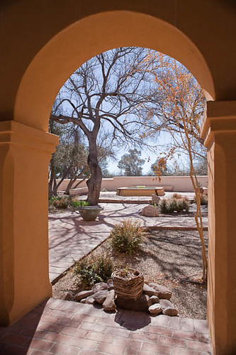
Tumacacori Garden

Tumacacori Garden © 2011 Bo Mackison

The mission has been under the administration of the National Park Service since 1916. One of the Park Services main objectives is the continued preservation of the adobe mission church and the adjoining structures which include a granary, a mortuary and cemetery, and other archeological features in the 300+ acre park.

The garden which is adjacent to the Visitor Center (itself an historic structure built by Civilian Conservation Corps in the 1930s) is planted with nut and fruit trees, and herbs that were introduced to this area by the Jesuit missionaries. It also has an area of native plants including many cactus varieties.

I found the garden a lovely place to sit and reflect on each day’s journey. It has a sparkling fountain as its central feature with walkways throughout the arbor and gardens. The shade from the mature trees offers protection from the desert sun, welcome even in the month of February.

——————

Bo Mackison is a photographer and owner of Seeded Earth Studio LLC. She is living in Tucson for the next eight seven weeks, exhibiting her photography in art shows, taking photographs of Arizona landmarks, both historical and natural, and blogging about photography, art fairs, and learning to live on her own. Her mantra is “Bo goes solo!”
Canyon de Chelly – A Photo Essay

Canyon de Chelley

Canyon de Chelly © 2010 Bo Mackison

Canyon de Chelley National Monument is located in northeastern Arizona near the town of Chinle. There are over 2700 archeological structures and cliff dwellings in this area, though only a few have been made structurally sound to allow visitors. Only one trail is open to the general public, but there are numerous guides available for further explorations in the monument.

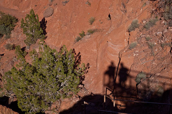
Shadow Photographers at Canyon de Chelley

Shadow Photographers at Canyon de Chelly © 2010 Bo Mackison

We had only a couple of hours to explore , and we did so from the Rim Road probably the most popular way to see the Monument, though truly one sees only a fraction of the Canyons from this vantage point. The next time I visit Canyon de Chelley, I will plan enough time to employ a native guide and truly see the wonders of this remarkable area.

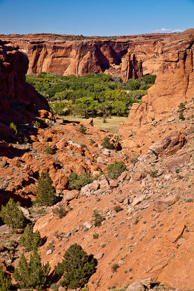
Canyon de Chelley

Canyon de Chelly National Monument © 2010 Bo Mackison

This photo was taken from a trail off the South Rim Drive at Tunnel Lookout. Just barely visible is the bottom of the canyon with trees and a grassy pasture. Canyon de Chelly is unique among all the National Park units in that it is entirely in the Navajo Tribal Trust Land. The National Park Service has a partnership with the Navajo Nation to manage park resources and approximately forty Navajo families live within the boundaries of the National Monument.

Canyon de Chelley Landscape

Canyon de Chelly Landscape © 2010 Bo Mackison

The monument encompasses approximately 84,000 acres of lands located entirely on the Navajo Nation. The monument covers 131 square miles and encompasses the floors and rims of the three major canyons — Canyon de Chelly, Canyon del Muerto, and Monument Canyon. It is a vast area. See the tiny specks of blue in the photograph – two visitors at the lookout from which I had earlier taken the above photographs.

Hubbell Trading Post

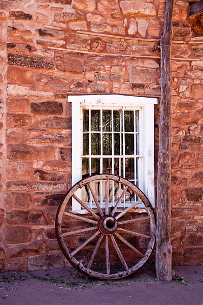
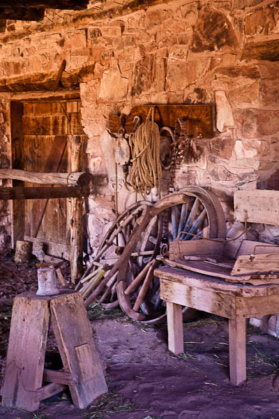
Wagon Wheel

Wagon Wheel © 2010 Bo Mackison

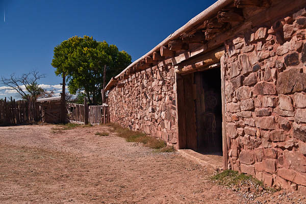
One of the last sites we visited in Arizona before reaching the Four Corners area was the Hubbell Trading Post National Historic Site located in Navajo Nation in northern Arizona.

John Hubbell purchased the trading post in 1878, ten years after Navajos were given permission to return to their homes from their enforced exile at Bosque Redondo in New Mexico. The Navajos were introduced to many, different material goods during the four years they were in New Mexico and Hubbell and his family traded with the Navajo once they returned home.

Hubbell Trading Post

Hubbell Trading Post © 2010 Bo Mackison

He built a trading empire that included stage and freight lines as well as several trading posts.

Historic Hubbell Trading Post

Historic Hubbell Trading Post © 2010 Bo Mackison

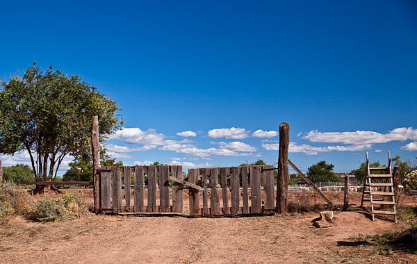
This historic site is surrounded by the Navajo Nation.  The 160 acres are on the Colorado Plateau in the high desert, approximately 6300 feet in elevation. The environment is comprised mostly of shrub land and Pinon and Juniper vegetation.

Hubbell Trading Post, Interior

Hubbell Trading Post, Interior © 2010 Bo Mackison

Various members of the Hubbell family operated the trading post continuously until the site was sold to the National Park Service in 1967. The trading post remains active, continuing the trading traditions the Hubbell family began in the 1870s.

Cedar Breaks and A Summit Storm

Still in the autumn trip time warp–here we are, October in Utah.

Safely Down the Mountain

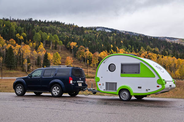
TAB in the Valley © 2010 Bo Mackison

It started out as a simple side trip. We figured it was less than a hundred miles of traveling, and it was off the interstate, and we are always looking for an excuse to get off the interstate. We checked the map. All we had to do was take a scenic route up to Cedar Breaks National Monument and then head to Zion National Park, our evening destination, on the back roads. Ha ha ha!

Remember. These plans were made by Wisconsin folks. We are accustomed to snow, ice, sleet. We know how to drive in that messy stuff. But we aren’t exactly experienced in the ways of MOUNTAINS. And neither Sherpa nor I were prepared for an early October blizzard.

Cedar Breaks National Monument

Entering Cedar Breaks in a Snowstorm © 2010 Bo Mackison

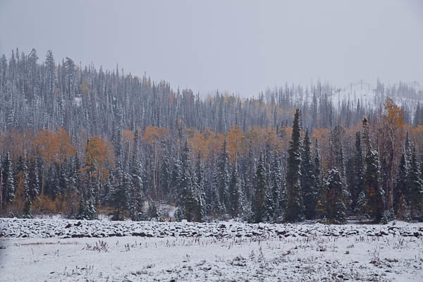
At first, the roads stayed fairly clear. A lot of snow came down in a very short time, but we laughed to see how it covered the pines and aspens in white. We had thought we would see fall colors, but we had the added thrill of seeing winter colors on top of autumn colors.

Oh boy. It gets more interesting.

Incoming --Storm!

On the Summit! © 2010 Bo Mackison

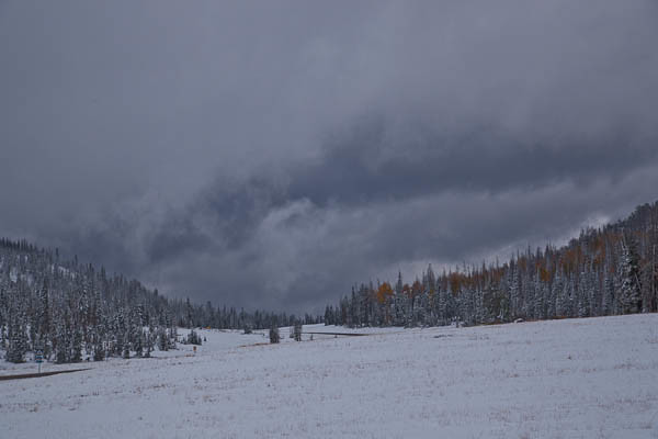
We arrived at Cedar Breaks National Monument, and THEN I discovered a small symbol on the map that noted we were on the top of the Colorado Plateau, and at an altitude of over 10,000′.  We were at the park during normal hours of operation, but the Ranger’s office was closed and locked. No one was around. And the storm was getting a little wild. We passed through white-out conditions on the summit, and the roads were now icy enough to cause swerving with the trailer. Hmm.

Sherpa thought we should turn around, but I lobbied hard to keep going. After all, we had passed the summit. That meant we were on our way down, which seemed like the right direction to be headed.

Once we were back on solid roads, I read the park brochure more closely. Seems that Cedar Breaks usually closes once it gets heavy snows, usually somewhere between late October and early December. Well, this was October 5th. The snow came early in 2010.

Just Not Expected in Early October

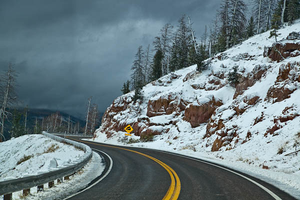
Descending on Icy Roads © 2010 Bo Mackison

Lucky for us, as we headed down the mountain, we turned onto a road that carried more traffic. A snow plow had recently cleared the pavement and so travel became much easier. There still wasn’t much of a view–and I’m still not sure what Cedar Breaks looks like. All of the other mountains were hidden in show clouds, too. But the road was clear enough to continue on safely.

Utah Backroads II

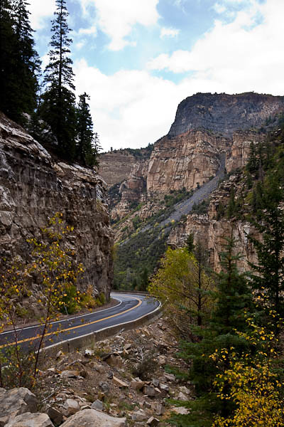
Finally on Nearly Dry Backroads © 2010 Bo Mackison

It wasn’t long before we were down to a more reasonable altitude, and fall weather returned. We happily left winter at Cedar Breaks and headed for Zion National Park, only 75 miles away.

We might have had a little too much excitement on that stretch of the trip. Sherpa said, “No more snow packed mountain roads when I’m pulling the trailer, please.”

I agreed.

Zion is next…