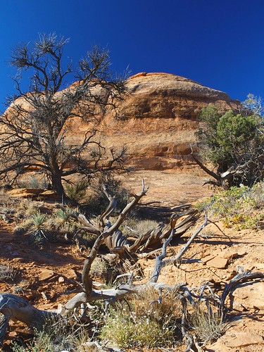
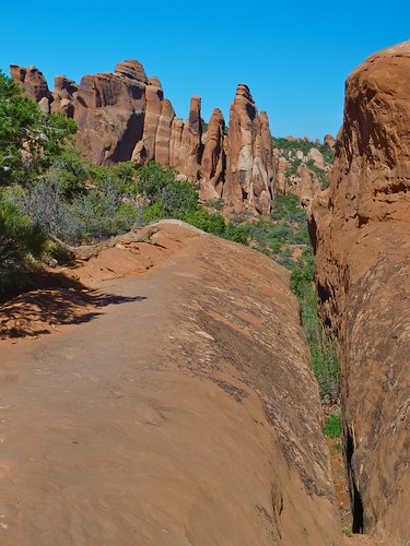
Still in the autumn trip time warp–here we are, October in Utah.
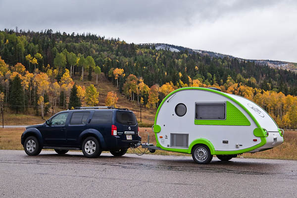
https://www.petwantsclt.com/petwants-charlotte-ingredients/ TAB in the Valley © 2010 Bo Mackison
It started out as a simple side trip. We figured it was less than a hundred miles of traveling, and it was off the interstate, and we are always looking for an excuse to get off the interstate. We checked the map. All we had to do was take a scenic route up to Cedar Breaks National Monument and then head to Zion National Park, our evening destination, on the back roads. Ha ha ha!
Buy Cheap Tramadol With Mastercard Remember. These plans were made by Wisconsin folks. We are accustomed to snow, ice, sleet. We know how to drive in that messy stuff. But we aren’t exactly experienced in the ways of MOUNTAINS. And neither Sherpa nor I were prepared for an early October blizzard.
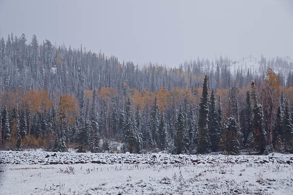
At first, the roads stayed fairly clear. A lot of snow came down in a very short time, but we laughed to see how it covered the pines and aspens in white. We had thought we would see fall colors, but we had the added thrill of seeing winter colors on top of autumn colors.
Oh boy. It gets more interesting.
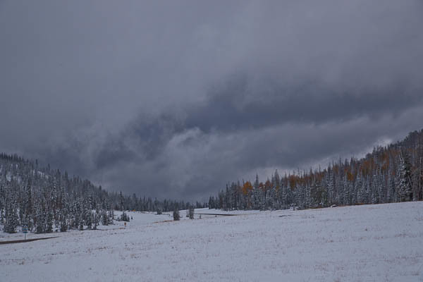
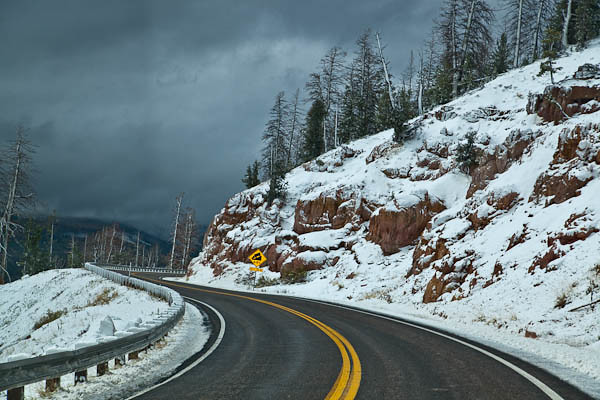
We arrived at Cedar Breaks National Monument, and THEN I discovered a small symbol on the map that noted we were on the top of the Colorado Plateau, and at an altitude of over 10,000′. We were at the park during normal hours of operation, but the Ranger’s office was closed and locked. No one was around. And the storm was getting a little wild. We passed through white-out conditions on the summit, and the roads were now icy enough to cause swerving with the trailer. Hmm.
Sherpa thought we should turn around, but I lobbied hard to keep going. After all, we had passed the summit. That meant we were on our way down, which seemed like the right direction to be headed.
Once we were back on solid roads, I read the park brochure more closely. Seems that Cedar Breaks usually closes once it gets heavy snows, usually somewhere between late October and early December. Well, this was October 5th. The snow came early in 2010.
Lucky for us, as we headed down the mountain, we turned onto a road that carried more traffic. A snow plow had recently cleared the pavement and so travel became much easier. There still wasn’t much of a view–and I’m still not sure what Cedar Breaks looks like. All of the other mountains were hidden in show clouds, too. But the road was clear enough to continue on safely.
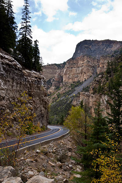
It wasn’t long before we were down to a more reasonable altitude, and fall weather returned. We happily left winter at Cedar Breaks and headed for Zion National Park, only 75 miles away.
We might have had a little too much excitement on that stretch of the trip. Sherpa said, “No more snow packed mountain roads when I’m pulling the trailer, please.”
I agreed.
Zion is next…
