Autumn Color in the Blue Ridge Parkway – Cherokee to Asheville, NC

Driving the Blue Ridge Pkwy ©2018 Bo Mackison

The idea is to fit the Parkway into the mountains as if nature has put it there.
~ Stanley Abbott, Landscape Architect for the Parkway

What a grand day for an autumn color drive! The sun was bright, the trees were in peak colors at the lower elevations, and, surprisingly, the traffic was minimal on a Monday in late October. We were heading to Hendersonville, North Carolina, en route to Patti Digh’s Life is a Verb Camp. (More on camp coming in later posts — it’s my annual recharge!)

We left the Cherokee Visitors Center in the Great Smoky Mountain National Park around noon and headed south towards Asheville.

Groundbreaking for the 469-mile Blue Ridge Parkway was in late 1932, but it was officially dedicated on September 11, 1987, fifty-two years after construction began.

After President Franklin D. Roosevelt visited Virginia’s first Civilian Conservation Corps road building camp where they were building the Skyline Parkway through the new Shenandoah National Park, he approved a similar CCC project, with the intention of creating jobs in the rural areas of North Carolina, Tennessee and Virginia.
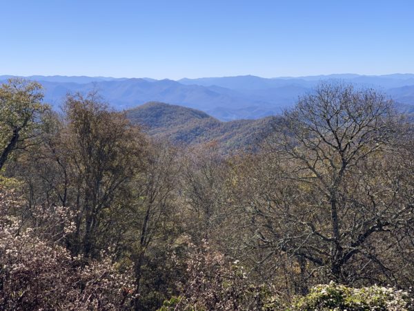
Blue Ridge Vista ©2018 Bo Mackison

Plenty of opportunity to pause and gaze at the scenic mountains in the distance. It makes for slow travel, but every stop is worth it.
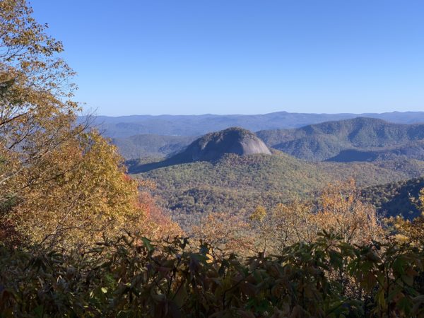
Log Hollow Overlook ©2018 Bo Mackison

Trees! Shades of oranges and reds, yellows and browns, with a scattering of evergreen green. Log Hollow Overlook offers a stunning view of Looking Glass Rock, one of the largest masses of granite in the Eastern United States. This rock gets its name from the shimmering mirror effect when sunlight hits its surface after a rainfall.
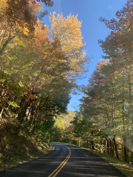
Blue Ridge Parkway ©2018 Bo Mackison

Nearly 200 parking areas and overlooks were incorporated into the Parkway’s deisgn so that motorists could enjoy a leisurely ride through the mountains. The road rises to 6,000+ feet at Richland Balsam Overlook in North Carolina. Up and down and around every curve — beauty!
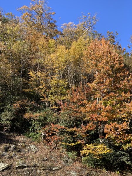
Blue Ridge Autumn Glory ©2018 Bo Mackison

We only drove about 70 miles on the Parkway, but it was a leisurely drive — is it possible to have a drive too leisurely on this scenic road? — with many stops at the overlooks and a desert and coffee break at Mt. Pisgah Inn. This inn, at nearly 5,000 ft elevation, is the highest place for lodging on the Blue Ridge Parkway. Imagine how gorgeous is the view from the motel rooms’ balconies! (Sorry, no photos of the Pisgah Inn — we were in a hurry to get to our cabin in Hendersonville by night fall!)
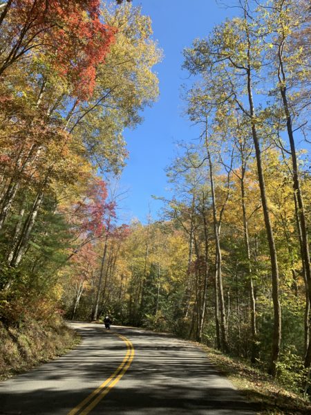
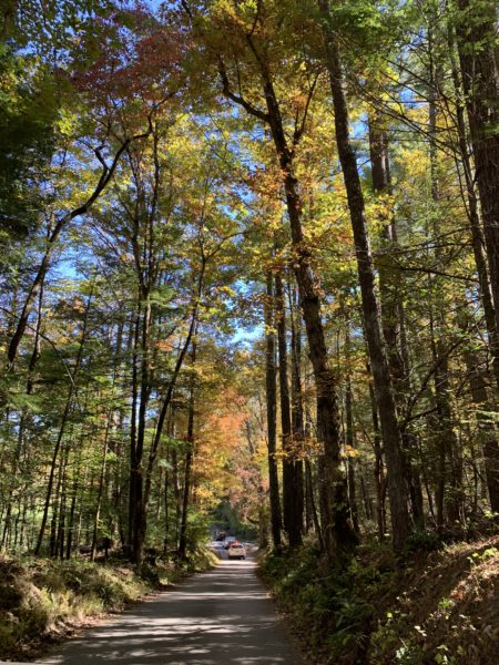
Exploring Cades Cove in Great Smoky Mountain National Park

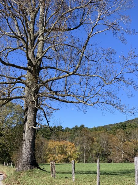
The sun was shining; the trees were glowing.

On our way to Asheville, North Carolina, we took a side trip in the Smokies and drove the Cades Cove Auto Loop. It was a lot of extra driving, but well worth the time. The trees were like a towering cathedral, the interior a sacred space.

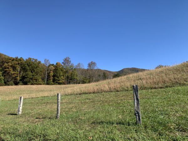
Open spaces gave a view of the countryside. These clearings were first settled by Europeans in the 1830s. Deer and turkey were plentiful along the route, but none conveniently posed for a photograph.


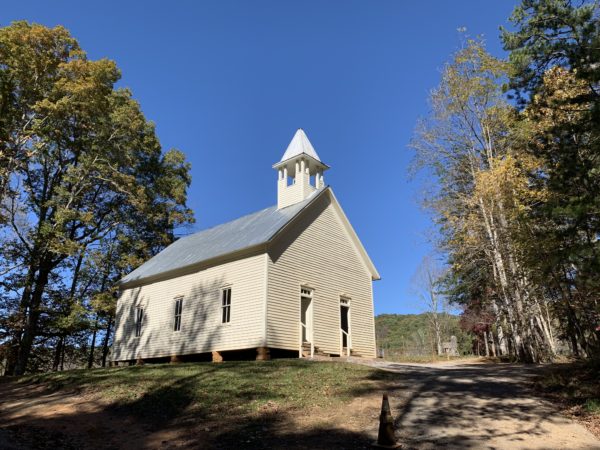
Cades Cove Methodist Church, built by John D. McCampbell. The white frame structure has two front doors, a design that was common in the 1800’s in the Smokies.

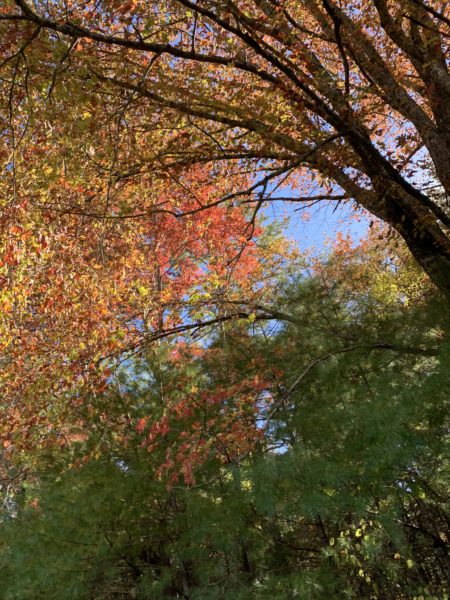
Spots of color brightened the way along the 11 mile loop road. Though the traffic was not bumper to bumper, it still took several hours to follow the loop.

Autumn Road Trip – Great Smoky Mountain National Park

On my way to Patti Digh’s Life is a Verb Camp, I took a long cut–as opposed to a short cut–and spent a day in the glory of autumn’s yellow deep within the Great Smoky Mountain National Park.

My traveling friend and I first stopped at Sugarland Visitor Center just inside the park entrance near Gatlinburg. I spoke to a park ranger who said the autumn color was two weeks behind schedule. Lucky for me, because the lower elevations were at peak color. If the colors had been right on time, we would’ve missed them all, but we were smack dab in the glory of a hardwood forest autumn.

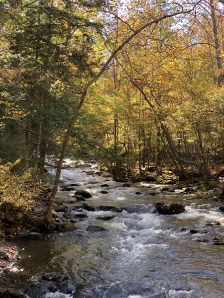
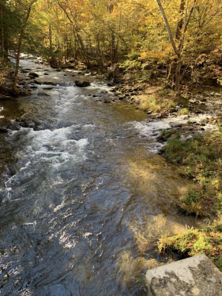
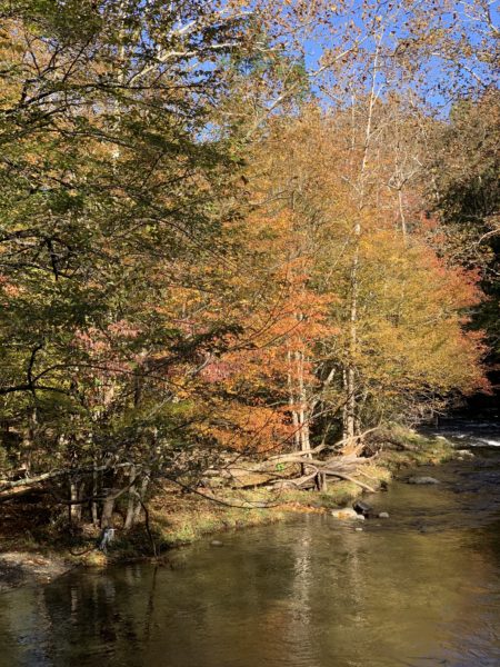
Elkmont River flowing with ferocity through the Elkmont Campground in the southern Smokies. The golden reflection of the trees in the swirling water was quite mesmerizing.

As we stood here, on the river shore, my friend recieved a much hoped for message that a relative was cancer free. Here, in this space and time, we felt an abundance of blessings.

And then a heron appeared at the river’s edge.

According to Ted Andrews:

“The Heron is a symbol of balance, able to be sure-footed upon the ground and fly gracefully through the sky. They explore quietly and slowly along shorelines, waiting for opportunities. But once they have spotted what they want their swiftness in attack shows no hesitation…

There is a sense of security in the Heron energy. They have the ability to evolve and become more adept at their talents so they may always be taken care of…

Self determination, self-reliance and guidance are the trademarks of the ever popular “lady” of the lake and spiritual guardian of the nature lover’s soul, the Great Blue Heron.”

Cross Country Adventure

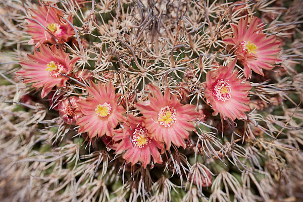
Cactus Flower Wreath

Cactus Flower Wreath © 2013 Bo Mackison

I locked the doors, left a note in my neighbor’s mail box, and gave the mountain view from my door a lingering look. A red-tailed hawk swooped towards the arroyo, then caught an uplifting current and soared into the deep blue sky.

Months ago, when I was pondering a solo road trip half way across the country, I questioned my sanity. But today, it feels right. I’ve crammed everything into the car — mostly boxes of books and art supplies, a couple of pieces of art I purchased for re-location to the Midwest, and a box of newly acquired book-making paraphernalia. Camera bags and my suitcase occupy the back seat. My bag of travel food – peanut butter, vegetable juice, apples, almonds, baby carrots – is in the front seat within easy reach. So is a cooler of ice, a jug of iced tea, and several cases of water. My goal is to do the trip without any fast food stops.

My other travel objective is to drive over 2,000 miles while (mostly) avoiding the interstate system and stopping at every National Park or monument within a half hour drive. That is the part of my plan that makes this travel plan sensible, doable, and sane. And the fact that I’m limiting my road travel to 350 miles a day. It’s not a lot, it will take me a week to get to Wisconsin, but it is doable. Even enjoyable. I’ve already promised myself that when I see a photo opportunity, I will take the time and stop.

What’s not to love about this kind of road trip!

———–

Bo Mackison is a photographer and owner of Seeded Earth Studio LLC.    She will report in with travel updates, as time and  internet connections allow.


Not Your Ordinary Travel Journal

Solitary Tree

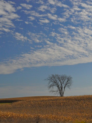
Solitary Tree in Iowa © 2008 Bo Mackison

As we drove the roads guiding us westward earlier this fall, I scribbled thoughts into my journal as they passed fleetingly through my mind. I’m sometimes fascinated, and a little disconcerted, at what I choose to document for future consideration. Here is a sampling of the notes from the beginning of the trip, as we began in Wisconsin and headed west towards Denver.

“West of Des Moines the country grows drier, though surprising to me, it has a distinct roly-poly-ness, rather like a split-second capture of grassy waves.”

There is a Las Vegas in Nebraska. Now what would the Spanish translation be for las vegas?” (I later Google the word and find it means “the meadows” – understandable, I suppose, in Nebraska, but does the Las Vegas in Nevada really have meadows?)

“Thirty miles west of Des Moines, the land suddenly flattens, the plains appear and seem to be infinite. I-80 narrows, in anticipation of less traffic. Suddenly it feels really out west.”

“I’m hungry. What I’d really like is a toasted pimento cheese sandwich. Craving a toasted pimento cheese sandwich. Really craving!”

“There is a town in Nebraska called Republican City. I wonder how many people living there are Democrats.” (Research tells me it is the only so named city in the world, named for the Republican River, not the Republican Party, but I haven’t been able to determine the percentage of citizens who are registered Republicans versus Democrats.)

There are sandhills in western Nebraska. I didn’t know there were sandhills here. Is there sandhill country like this in other places in the United States? In the world?” (Again, later that day I Google sandhills. I rely on the source of all sources, Wikipedia, to inform me that there are sandhill regions not only in Nebraska, but also in the Carolinas. I learn the Nebraska sandhills are the largest and most intricate wetland ecosystem in the United States, and never having been farmed, it is an intact eco-system with huge diversity. Wow! Way to go, Nebraska! Apparently the less fortunate Carolinas’ sandhills have been domesticated, and seem most famous for their golf courses.

“Came upon the first of many cattle feedlots as we approach the Colorado border. Horrifying. How can this be tolerated?”

“Such noticeable changes as we pass through the states – in Wisconsin and Iowa there were prairie wildflowers growing on the roadsides. In Nebraska, lots of tall, brown dried grasses. Now that we are in Colorado, there is a mix of sagebrush interspersed with the clumps of grasses.”

Such were my musings from Wisconsin through Iowa and Nebraska and finally into Colorado.

It re-affirms my daily task of journaling. These aren’t the kinds of things I would easily recall, nothing very noteworthy, but they add a little more dimension to the trip. They give me the opportunity to research and follow up on questions I might otherwise leave unanswered. And who knows what kind of inspiration they may provide in the future. Never can tell what kind of inspiration I may draw from a toasted pimento cheese sandwich!