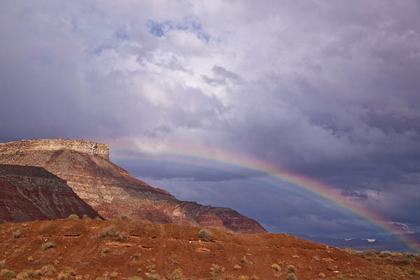
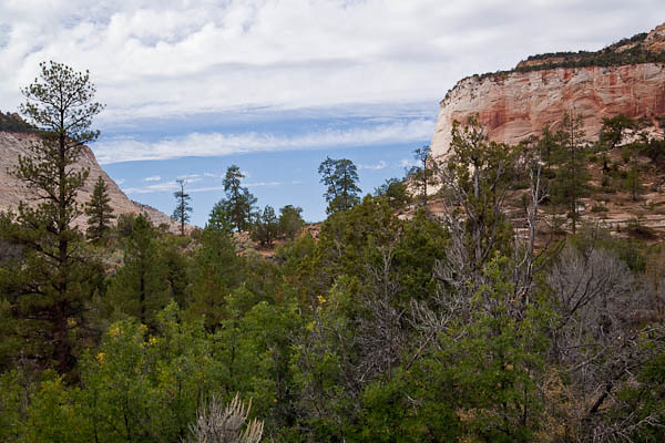
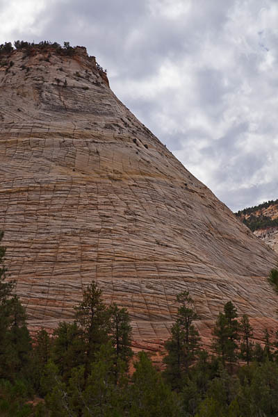
https://www.petwantsclt.com/petwants-charlotte-ingredients/ After our visit to Cedar Break National Monument, we traveled a couple of hours south to Zion National Park. We saw a rainbow as a passing storm system heading away from us.
https://www.petwantsclt.com/petwants-charlotte-ingredients/
https://www.merlinsilk.com/neologism/
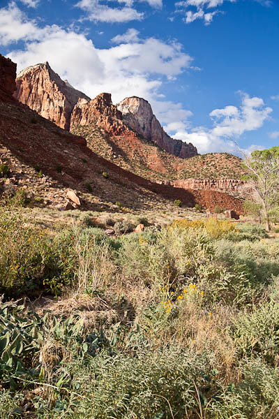
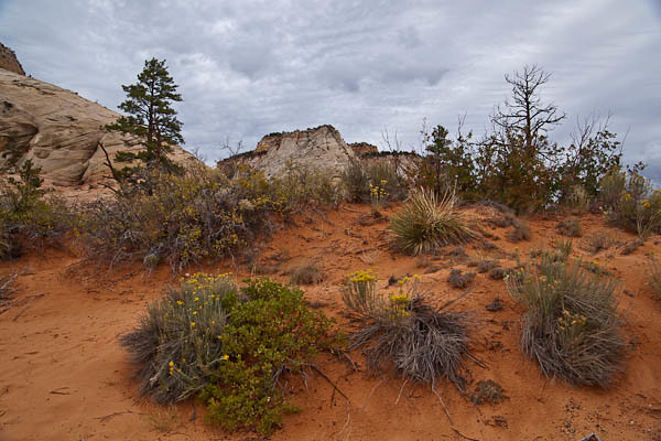
With the elevations in Zion ranging from 3,600 to over 8,700 feet, the park is home to many habitat communities. There are species from the Colorado Plateau, Basin and Range, and the Mojave Desert, and these all blend to create a place for more than 900 species of plants, from riparian (river) plants to desert plants.
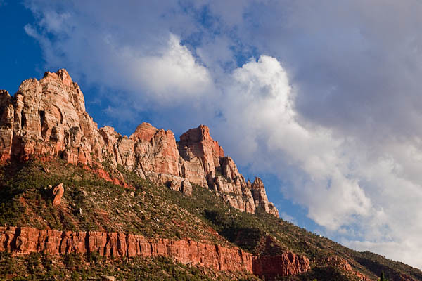
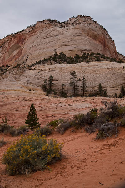
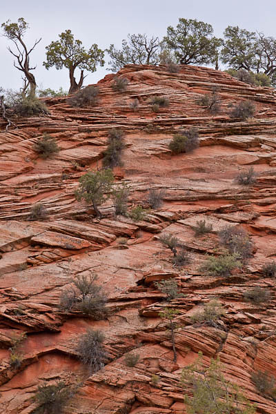
Zion National Park is on the edge of the Colorado Plateau. The many layers of rock have been pushed upward and tilted to form a geological feature called Escalante, or the Grand Staircase. This amazing line of cliffs stretches from Bryce Canyon to the Grand Canyon. One of the large steps stretches from Bryce Canyon, the bottom step, to Zion, the top step. Another step rises from Zion, the bottom step, to the Grand Canyon, the top of the step.
In 2009, President Obama declared much of Zion as a Natural Wilderness Area. According to Congressional Guidelines, a wilderness area is, in part, defined as:
“A wilderness, in contrast with those areas where man and his own works dominate the landscape, is hereby recognized as an area where the earth and its community of life are untrammeled by man, where man himself is a visitor who does not remain.”
