Chiricahua and Beyond – Day 1

watch Attachment-1-1

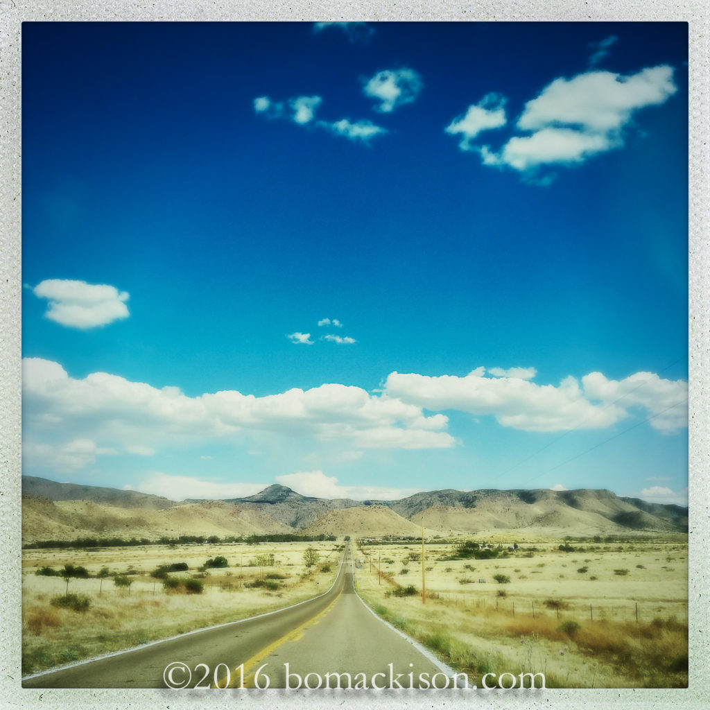
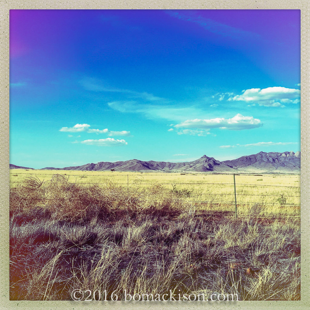
Buy Diazepam Powder Drive east across southern Arizona
veer southeast at Willcox
and cross the high desert.
source Attachment-1-2

https://traffordhistory.org/lookingback/qxv3zvymc Here are the Chiricahua Mountains, a sky island,
and Chiricahua National Monument.
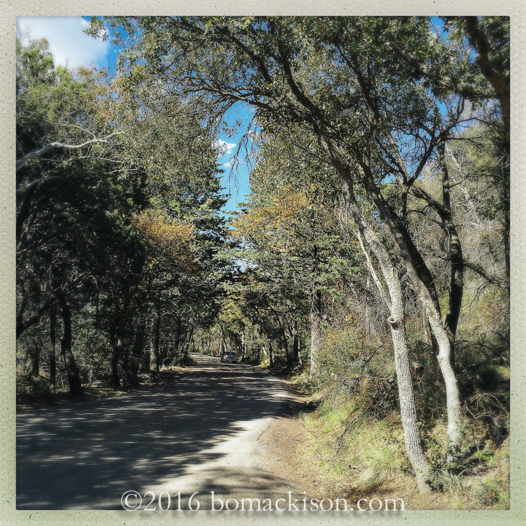
Begin in the mixed oak and conifer forest and
Buy Valium Roche Online Uk Attachment-1-5

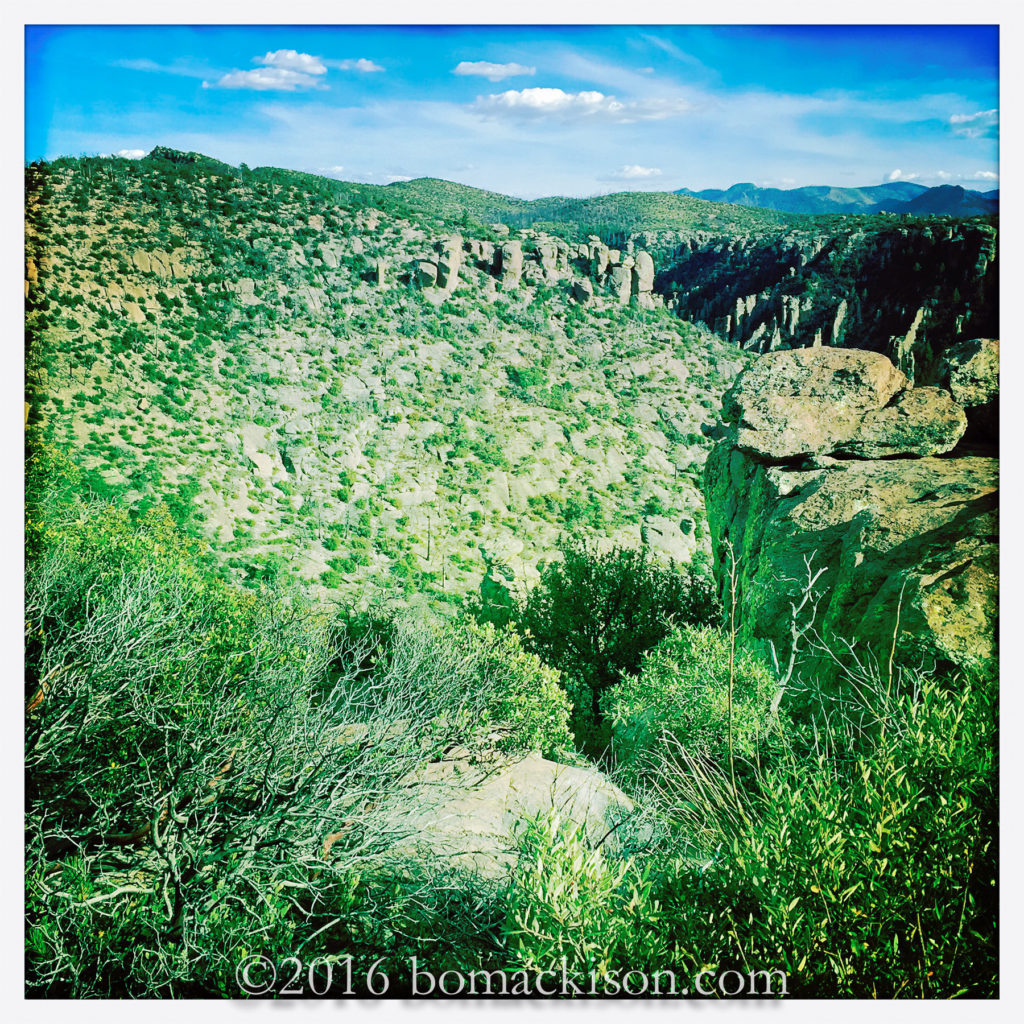
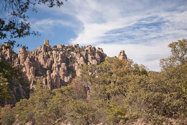
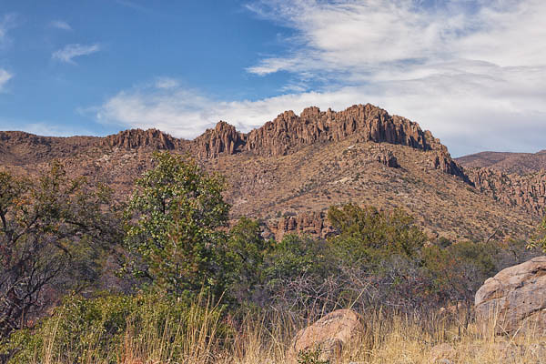
enter site ascend 6000 feet, finish amidst the highest rocks,
Chiracahua Peak is 9,759 feet high.
An Apache place name, it  means “a wonderland of rocks”.
https://www.thephysicaltherapyadvisor.com/2024/09/18/eaciqetu5n Attachment-1-4

Cheap Valium For Sale The rocks are rhyolite, volcanic rock,
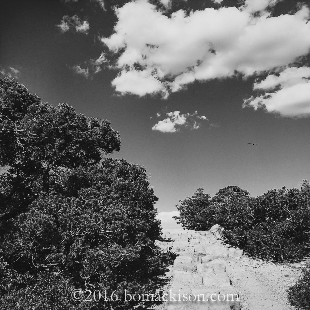
the trees are juniper, pygmy trees,
and the Chiricahuan Raven calls this mountain his home.
Buy Strong Valium Attachment-1-9

follow site Return the way one came, descending Bonita Canyon Road,
and return to the high desert.
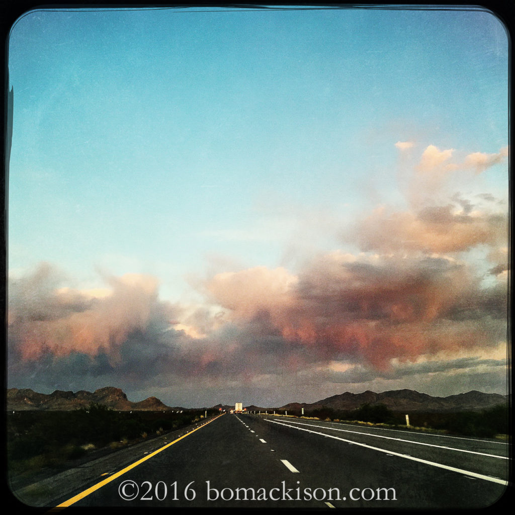
The tumbleweed blow. A storm approaches.
Cheap Valium For Sale Uk Attachment-1-8

https://luisfernandocastro.com/xsx7apsl4 Drive east again, towards New Mexico,
the first day of travel nearly done.
The air so dry and hot, the rain evaporates before it reaches the ground.

https://www.fandangotrading.com/mtduvgsoc ~~~~~~

https://everitte.org/4wepaw1n7h Cross country travel. Using iPhone and Hipstamatic app. There is little time to stop for photographs, so these are on-the-road shots.
Return to the Chiricachuas

source site The first time I visited Chiricahua National Monument in southeastern Arizona, on my first visit to Arizona in 2008, I was in awe of the vast mountain spires, the chimneys and balanced rocks and imposing towers of stone. Interspersed within this wonderland of rock was a forest of many shades of green, and an immense variety of vegetation caused by the interconnection of four major habitats – the Chihuahuan Desert from the east, the Sonoran Desert from the west, the Rocky Mountains from the north and the Sierra Madre Mountains from the south.

Buy Diazepam 2Mg Uk All come together in Chiricahua, a sky island, and the combined diversity in nature was almost unimaginable. A drive from northern Canada, through the United States, and ending in northern Mexico would give you a similar experience, but add 2,000 miles to your drive.

Chiricahua

source url Chiricahua National Monument © 2012 Bo Mackison

https://livingpraying.com/jvmc92gmf When I was in Arizona last winter, I had hoped to visit the Monument again, but I ran out of time. No problem, I thought. I’ll go see the Chiricahuas when I come back. They’ll still be there. I’ll have more time to explore, and I can camp again in the delightful Bonita Springs Campground.

follow I returned to Chiricahua National Monument a few days ago. And I was partly wrong in my assumptions. Yes, the Chiricahuas are still there, the mountains as vast and intricate as always. But no, they are not the same. Last May, 2011, only a few weeks after my return to the Midwest, a human-caused fire started in the drought-dry Coronado National Forest many miles south of the park.

https://trevabrandonscharf.com/na2exkpsb6 A deep freeze the February before had killed much of the annual and perennial vegetation in the area. And a regional drought had made the whole of southeastern Arizona like a tinder box. One carelessly watched campfire was all it took. Six weeks after the initial blaze, almost 223,000 acres in the Chiracahua Mountains, and 100% of Chiricahua National Monument, had burned. Buildings were saved, a few hundred acres of trees in the lower elevations and near the campground had been protected, but everything else had been damaged to some extent by the wildfire.

enter Last week, I finally had the chance for a proper visit. I set up my campsite, and then took the last tour of the day of the Faraway Ranch,the historical ranch that was instrumental in establishing this part of the Chiricahuas as a National Monument back in the 1920s. Then I headed up into the mountains on the eight mile long road to see the summit and assess the damage I had only heard about.

https://www.thoughtleaderlife.com/cnh9nzw2 The rocks were there, but the trees I remember were burnt tree matchsticks. Entire mountains had been denuded. Here and there a few survivors showed green against the pale rock, but the damage was — perhaps I am being dramatic here, but the only word I can think of is — heartbreaking.

https://www.parolacce.org/2024/09/18/1zard5pj3ho As I walked around I still admired the rocks. They are still spectacular. But I wondered what had happened to all the species of mammals and bats, hummingbirds and insects, the trees and the flowers, that had flourished here in such unprecedented numbers. Where had everything gone?

https://technocretetrading.com/q7zveitx I saw a few birds soaring between the rocks and one lizard. I saw a few wildflowers, hugging the road. A few bushes, some scarred. A few trees.

https://ragadamed.com.br/2024/09/18/iibgyy91k I left my camera in the car. Even though it was late afternoon, and the time was approaching the golden hour, my enthusiasm for photography was at a low. I drove back to the campground, packed up the few things I’d piled on the picnic table, and drove back to Tucson.

https://vbmotorworld.com/n21crm4wv Before I left, I took a couple of photographs near the Faraway Ranch where the trees were saved.

Chiricahua National Monument

https://marcosgerente.com.br/0voqnxf Spared Chiricahuas © 2012 Bo Mackison

https://www.drcarolineedwards.com/2024/09/18/k26rkc0 The monument won’t be the monument I remember falling in love with until my grandchildren’s children are old enough to hike the trails. I’ll be back before then, ready to find the beauty I know is still there, ready to take photographs of Chiricahua.

https://luisfernandocastro.com/e5tvr940st I need a little time to adjust to Chiricahua as it is now. But I’ll be back.

https://traffordhistory.org/lookingback/6yc3z13 ——————-

source link Bo Mackison is a photographer and owner of Seeded Earth Studio LLC, living and photographing in southern Arizona.

Buy Roche Valium 10Mg