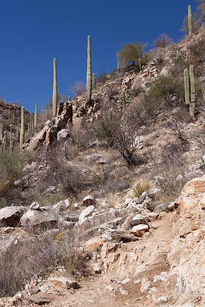
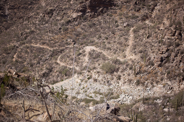
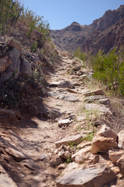
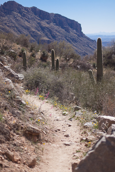
Exploring Brown Mountain © 2014 Bo Mackisonhttps://www.merlinsilk.com/neologism/ Here are limitless views of desert vegetation, strange giant cacti forms, rock formations uprising sharply into forms and craggy peaks almost unreal to strangers and ever fascinating in the changing flood of desert light. ~ C. B. Brown
Cheapest Tramadol Overnight For several years, I thought Brown Mountain was named for its predominately reddish-brown rocky face, a face studded with whiskers of toothpick saguaro cacti. Then I researched the origins of Brown Mountain, a small rounded mountain located in the Sonoran Desert in Tucson Mountain Park, just west of Tucson Arizona, and discovered it was named in honor of C. B. Brown (1889-1979) the foremost advocate for keeping the Tucson Mountain region a natural space.
http://economiacircularverde.com/que-es-la-economia-circular/ Under Brown’s guidance and continued efforts, the Tucson Mountain region was closed to mining and homesteading in 1926, and preserved in its natural desert state for the enjoyment of all.
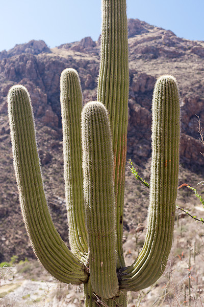
Cactus Arms © 2014 Bo Mackisonhttps://www.circologhislandi.net/en/conferenze/Tramadol Purchase Canada The scenic qualities, luxuriance and variety of desert flora, abundance of wild life, and historical romance of the land are accepted material bits. ~ C. B. Brown
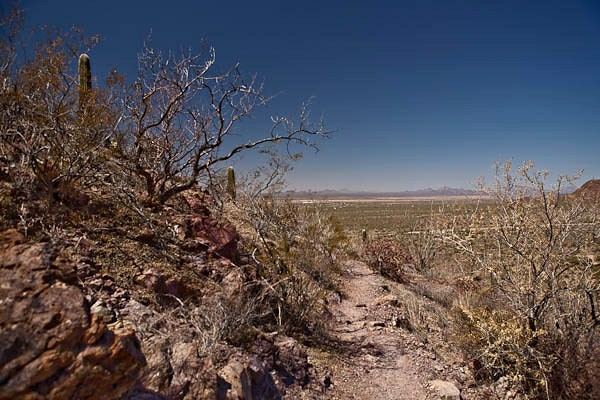
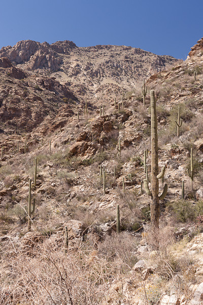
https://oleoalmanzora.com/oleoturismo-en-pulpi/ On Top of Brown Mountain © 2014 Bo Mackison
More fascinating is the intangible charm and spell of the desert region where the haze of the mountain ranges meet the blue of the sky and the desert impressive in its cloak of utter silence awaits the nature lover. ~ C. B. Brown
The Brown Mountain Trail has trail heads at both the Brown Mountain Picnic Area and the Juan Baptiste Picnic Area. It’s a five-mile hike, up, around, and back, with distant vistas at every turn. The views are especially great considering the minimal effort required to reach the peak.
The hike covers undulating ridges with views of Tucson Mountains and distant views of The Santa Ritas, Kitt Peak and other far away mountain ranges. Baboquivari, the sacred peak of the Tohono O’odham Nation and traditional home of I’itoi, the creator-god of the land, can be seen on a clear day.
There is a huge diversity of flora and fauna, easily a cross-section of what is found in the nearby region.
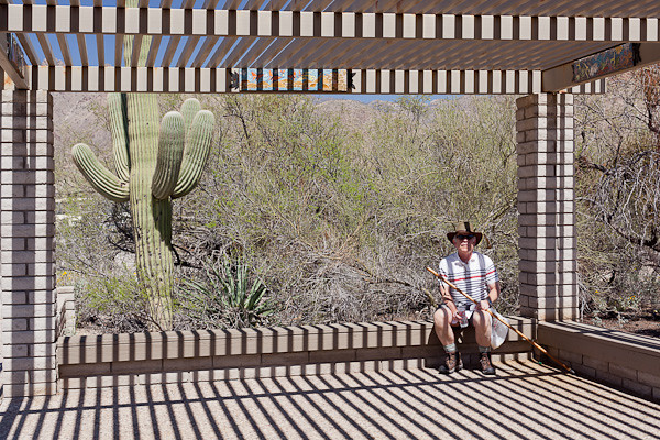
CCC Shelter in Brown Mountain Picnic Area © 2014 Bo MackisonNo portrait of the Brown Mountain area would be complete without a photograph of the historical picnic area built by the Citizen Conservation Corps in the 1930s. You might notice a camera pack, a hiking stick, and a pile of books on the concrete table. This is my office away from my office – I can often be found working here when the desert sun works its magic and calls me to the desert.
Brittlebush © 2014 Bo MackisonRecent rain has brought yellow and green to the desert floor. Most of the common flowers are yellow — brittle-bush, desert marigold, acaia, mesquite, and many more.
Mesquite Near Brown Mountain © 2014 Bo MackisonAnd when the rains come, the trees, often without leaves in the more arid times, sprout tiny specks of leaves. From a distance the trees show lovely and soft green forms.
Sonoran Desert in Brown Mountain © 2014 Bo MackisonI am no longer surprised at the diversity of plants, cacti, and trees I see in the Sonoran Desert, how they are so openly spaced in order to provide each plant with needed rain and nutrients from the ground, but I am often taken aback by how “manicured” the desert often seems — as if a landscape gardener comes out early every day to rake the rocks, put all in place.
