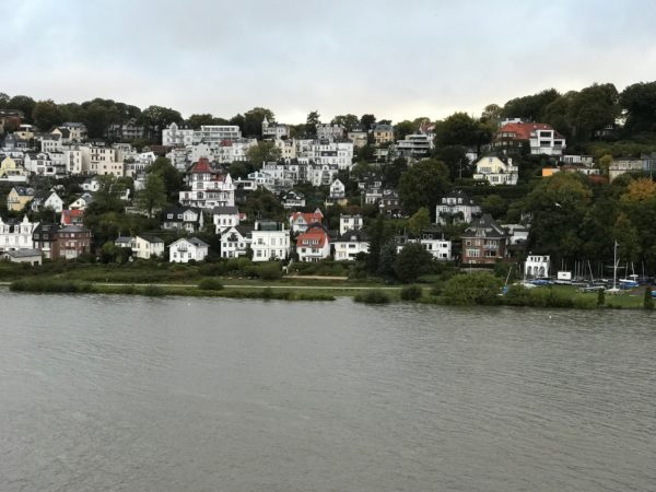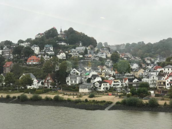
https://drcarlosarzabe.com/dr-carlos-arzabe/ Hamburg on the Elbe ©2018 Bo Mackison
Purchase Tramadol Visa October 5, 2018
Tramadol 50 Mg Buy The trip from Hamburg to Amsterdam is a half day plus all night plus another half day affair. We leave Hamburg around 2 PM on October 4 and we arrive in Hamburg around 1 PM on October 5. It’s a quiet time after many days of constantly being on the go. We cruised the Elbe, past homes terraced along the banks of the river.
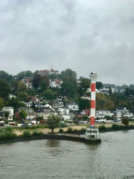
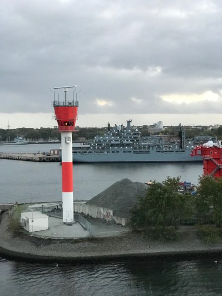
https://www.circologhislandi.net/en/conferenze/ Lighthouse on the Elbe ©2018 Bo Mackison
Tramadol Online Prices Lighthouses dot the shore at frequent intervals.
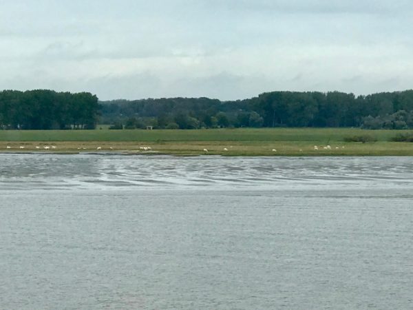
Sheep on the Shore of the Elbe ©2018 Bo Mackison
Near the mouth of the Elbe, sheep graze on the river’s flood plain.
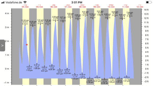
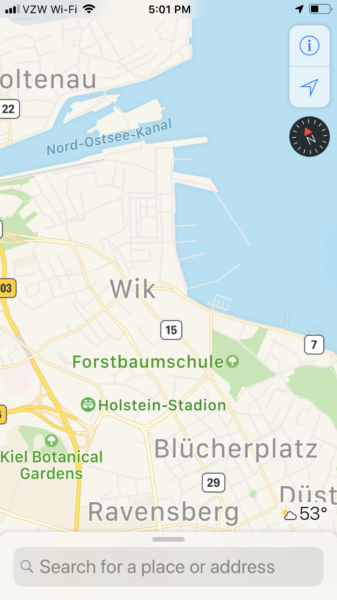
Tidal Chart of the Elbe
There was a conversation in the Explorer’s Lounge about tides in this part of the world, so I looked up tides and took this screenshot. The red dot on October 4th signifies the tide is going out and will be at low tide at 8:35 PM.
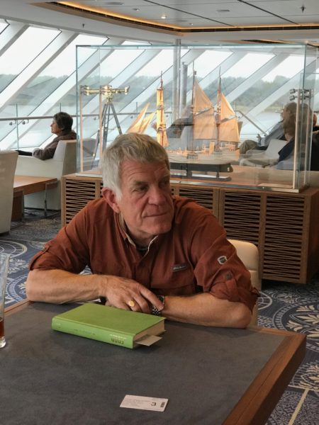
- In the Explorer’s Lounge ©2018 Bo Mackison
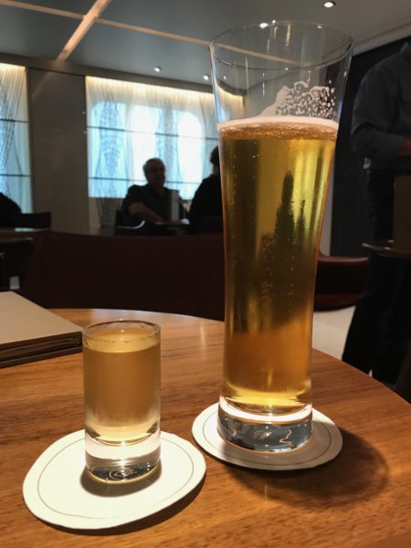
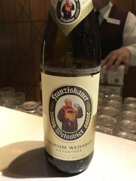
- Beer and Tequila – Our Last Toast ©2018 Bo Mackison
We were happy to sit back and enjoy some down time, not that there is ever any “nothing to do” time. Just a look out of any nearby window proves there is always something to see of interest. But Bob read a book — his second on the cruise — and I worked on my travel journal. Then we toasted to a “cruise well enjoyed.”
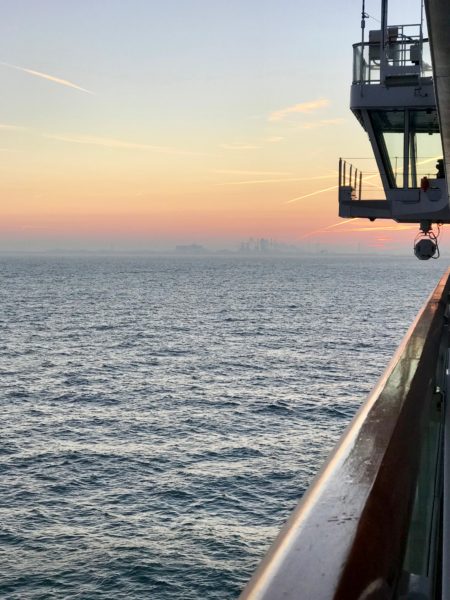
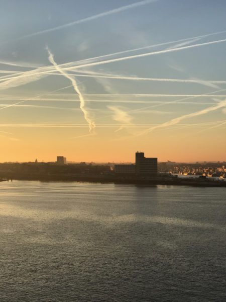
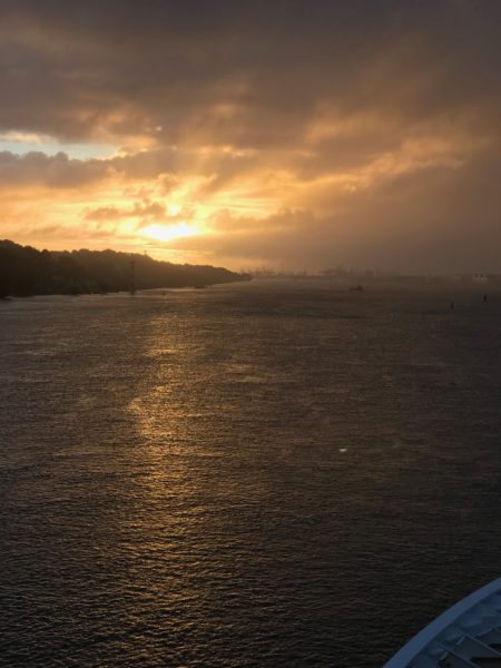
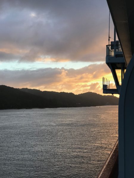
North Sea Sunrise & Netherlands in the Mist ©2018 Bo Mackison
By the time the sun was rising, we were approaching the Netherlands.

North Sea Channel, IJmuiden, Netherlands ©2018 Bo Mackison
IJmuiden is the newest city in North Holland, and was christened a city in 1876, when the North Sea Canal was officially opened, connecting the Amsterdam harbours to the open sea.
- Harbor ©2018 Bo Mackison
- Sunrise Glow ©2018 Bo Mackison
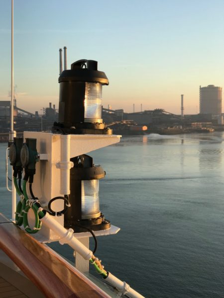
- Lanterns and the Canal ©2018 Bo Mackison
IJmuiden is located at the mouth of the 27-kilometre-long North Sea Channel that links Amsterdam with the sea.
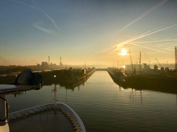
Locks ©2018 Bo Mackison
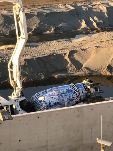
- Delft Cement Mixer ©2018 Bo Mackison
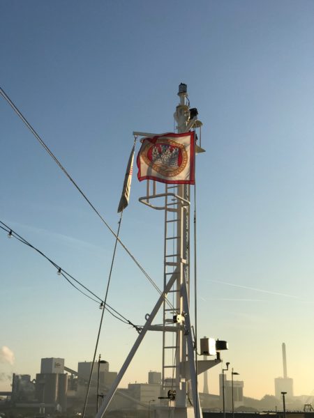
- Hoisted Hamburg’s Flag ©2018 Bo Mackison
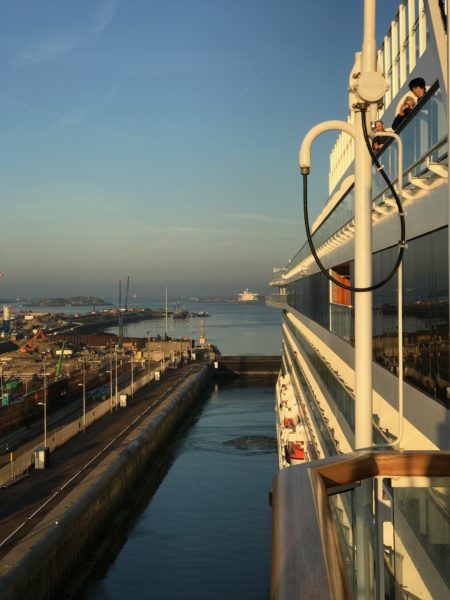
- Binnentoeleidings Canal ©2018 Bo Mackison
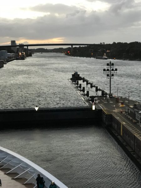
All ships traveling between Amsterdam and the North Sea must pass through the locks at IJmuiden. The four sea locks form a barrier in the mouth of the channel, which offers protection against flooding from the North Sea.
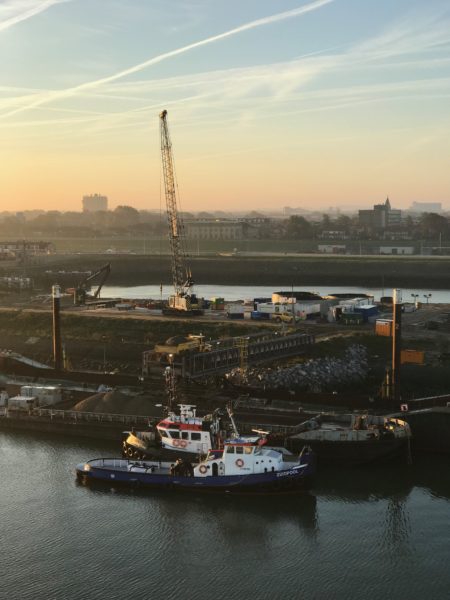
New Lock Construction ©2018 Bo Mackison
New locks are being built to accommodate the newest generation of large ships.
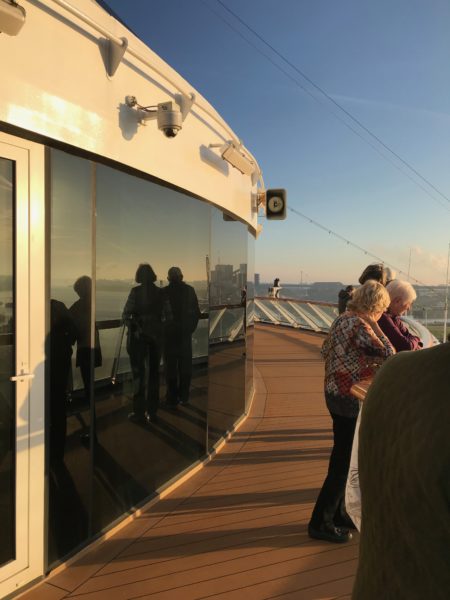
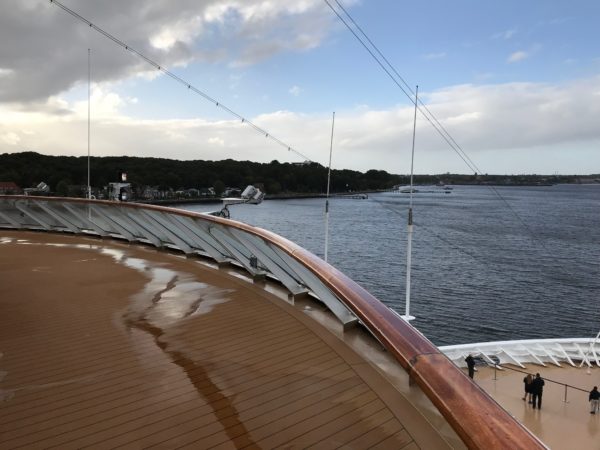
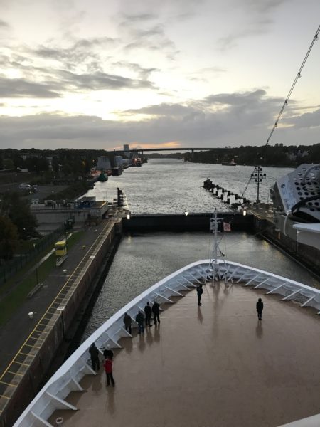
Forward on Deck 10 © 2018 Bo Mackison
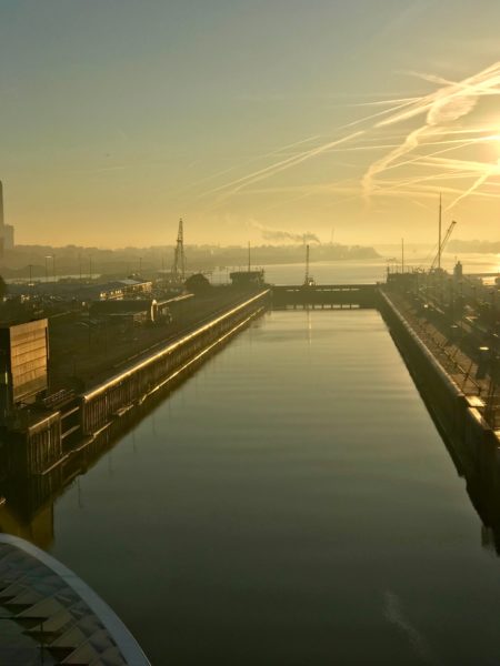
Entering the Locks ©2018 Bo Mackison
- Harbor ©2018 Bo Mackison
- Harbor ©2018 Bo Mackison
- Noord 1 ©2018 Bo Mackison
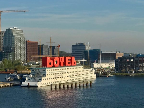
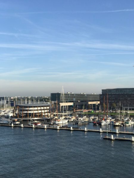
Botel on the Elbe ©2018 Bo Mackison
Wanna stay near the water? How about on the water? Here’s what the Botel’s website has to say about its boat-hotel.
“The Amstel Botel is Amsterdam’s floating hotel. Stay in our hotel with unique design in appearance. We are located in the center of Amsterdam just 3 minutes walk from the Central Railway Station and 18 minutes ride from Amsterdam Airport, which offers a splendid opportunity to discover Amsterdam’s history, culture and beauty. The Amstel Botel has 175 rooms, smoking and non-smoking rooms available, all with toilet/shower, hot/cold water, safe, AM/FM clock radio, writing desk, telephone.”
Yea or nay?
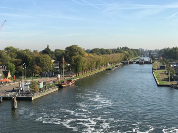
Canal ©2018 Bo Mackison
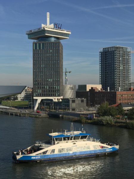
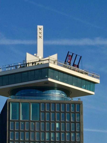
- A’DAM Lookout © 2018 Bo Mackison
- A’DAM and High Swings ©2018 Bo Mackison
A’Dam Lookout is an observation deck with a panoramic view of Amsterdam. Visible is the city’s historical center, the port, the surrounding landscape, and the famous canals which are listed on the UNESCO world heritage list.
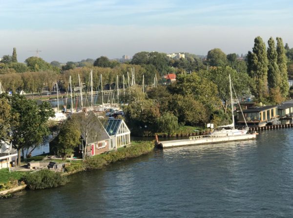
Amsterdam Canal ©2018 Bo Mackison
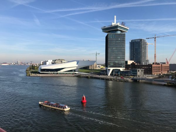
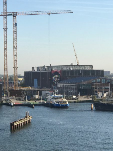
Amsterdam, North Holland, Netherlands ©2018 Bo Mackison
The white low slung building is the EYE Film Institute Netherlands, a museum that preserves and presents both Dutch and foreign films screened in the Netherlands. The museum’s extensive collection includes 37,000 film titles, 60,000 posters, 700,000 photographs and 20,000 books.
And soon we will be arriving at the terminal of Amsterdam.
