Day 10: More on Our First Day in Hamburg

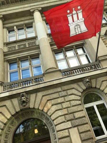
Hamburg as a City-State has its Own Flag © 2018 Bo Mackison

From journal notes, October 3, 2018:

Hamburg is called the Gateway to the World. Germany’s largest port and the second-busiest in all of Europe, tucked in a well protected spot on the Elbe River, 60 miles from the North Sea. It’s also Germany’s second largest city with a population of over 1.8 million. Overall, a busy place, but not so busy our first day exploring because we arrived on German Unification day, a national holiday.

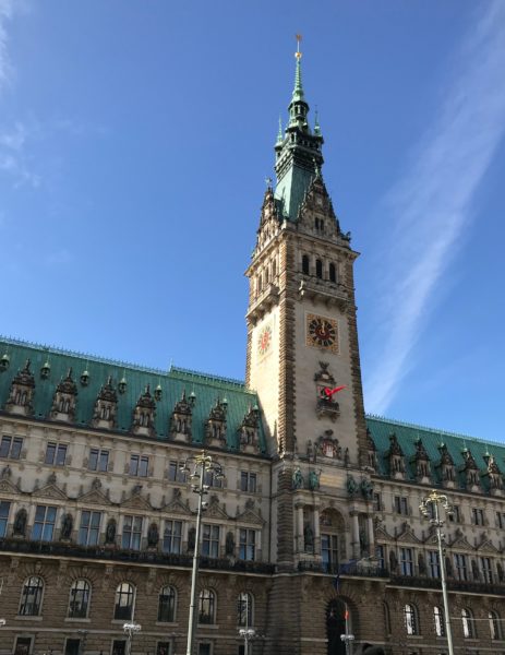
Info from hamburg.com: The impressive Rathaus or City Hall is Hamburg’s seat of government; It is where Hamburg Parliament and the Senate assemble. The eclectic, neo-renaissance building from 1897 was one of the more interesting buildings we explored.
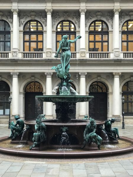
Hygieia-Fountain ©2018 Bo Mackison

A passageway connects the City Hall to the Hamburg Stock Exchange. The newly renovated courtyard between these buildings resembles an Italian piazza and is decorated with the ‘Hygieia-fountain’ which was named after the Greek goddess of health and built in remembrance of the cholera epidemic that took place in 1892. At the feet of the goddess is a dragon and symbol of the defeated cholera.

At the base of the fountain are three male and three female bronze figures which symbolize the power and blessing of water–a fisher boy, a woman with a pitcher, a girl rowing, a boy with a model ship, a faun with the shell of wealth, and Aphrodite (she who was born of the waves.)

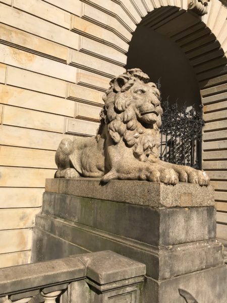
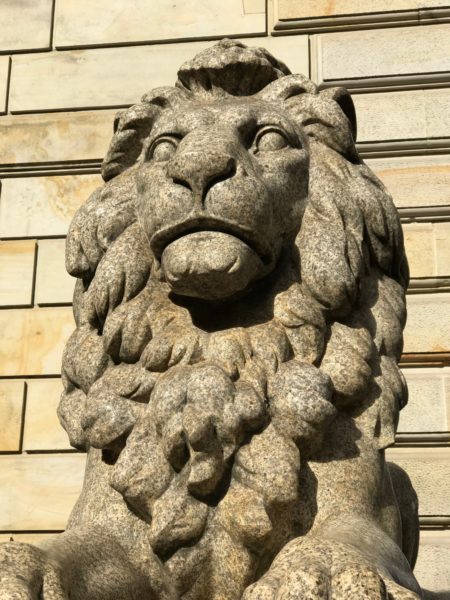
Four granite lions, sculpted by Carl Börner, sit at the entrance to the courtyard, welcoming you into the inner courtyard.
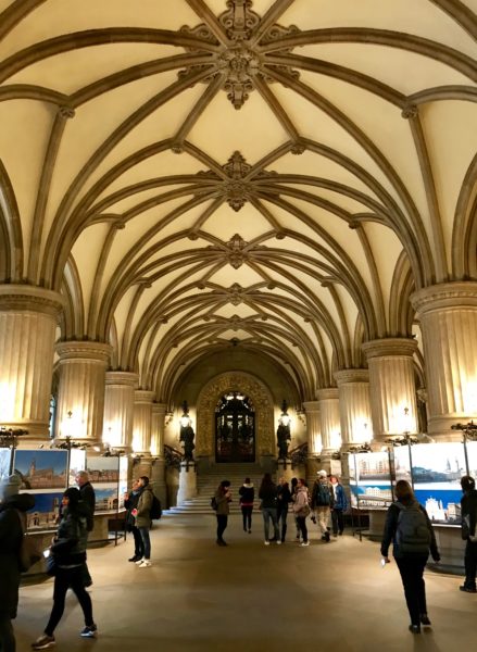
Entrance Hall on Main Floor ©2018 Bo Mackison

City Hall construction started in 1886 with 4000 wooden poles that had to be drilled into the muddy shores of the Alster Lake, in order to carry the weight of the 436 ft wide, 230 ft deep and 368 ft tall building. It is truly palatial, having 647 rooms. It is one of the few buildings that survived both the Great Fire of 1842 and the bombings of WWII which leveled much of the city.

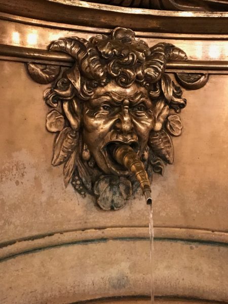
Every city hall should have such fascinating art fixtures. There’s the copper water fountain…with the water spitter.
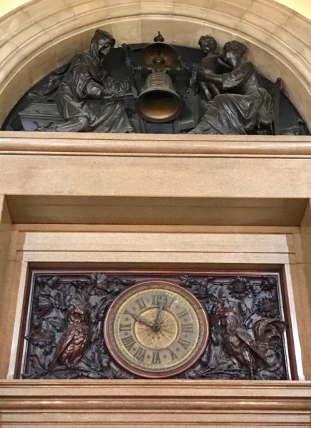
Clock and Tableau ©2018 Bo Mackison

There’s the clock above the main entrance’s door–a tableau with mother and child on the right side and the Grim Reaper on the left side. At quarter past the hour, the child’s figure strikes the bell; at the top of the hour the Grim Reaper strikes the bell. A reminder that life is fleeting.
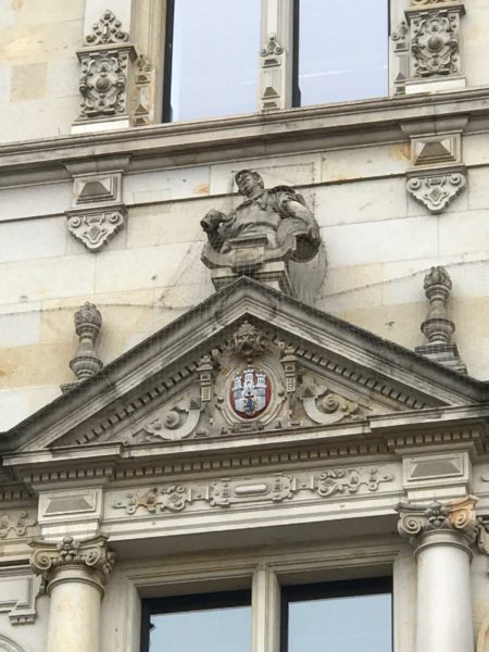
The Brewer ©2018 Bo Mackison

And outside is a veritable sculpture gallery. There are hundreds of full-sized sculptures on the facade of City Hall. The gods and generals, saints and emperors are not the only ones given a moment in statuary fame; the common man is also featured. Bakers, candlestick makers, potters. Here, the brewer is toting a cask of his brew.
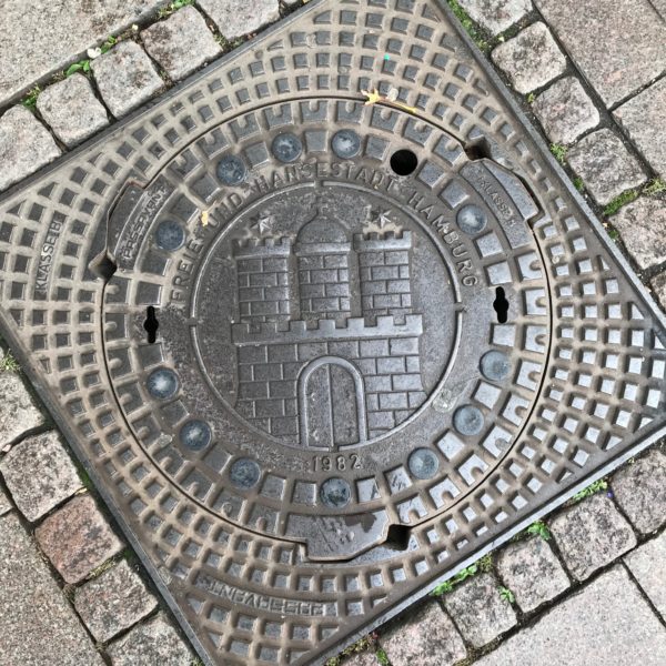
Manhole Cover with hamburg’s City Symbol ©2018 Bo Mackison

The city symbol is found everywhere — even on the manhole covers.

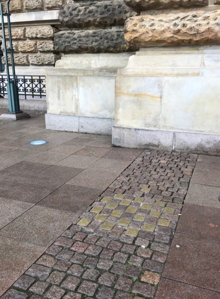
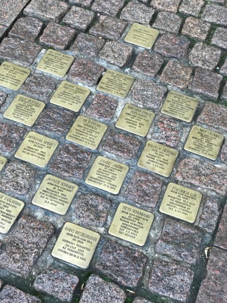
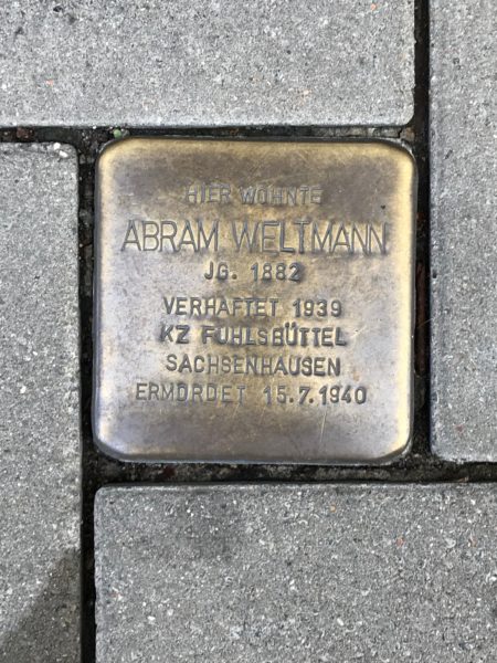
From the Stumbling Stones website: Since 1995, Cologne-based artist Gunter Demnig has been commemorating the victims of the German Nazi regime through his project “Stolpersteine” – Stumbling Stones. The artist has been laying small memorial stones all over Germany — in sidewalks and pavements outside the places where the people lived or worked who were persecuted and murdered by the Nazi regime.

These stones were near the main entrance to Hamburg’s City Hall and were laid in 2002; the stones now number 5,000 in Hamburg alone. (We also saw stones in Kiel and Amsterdam.)

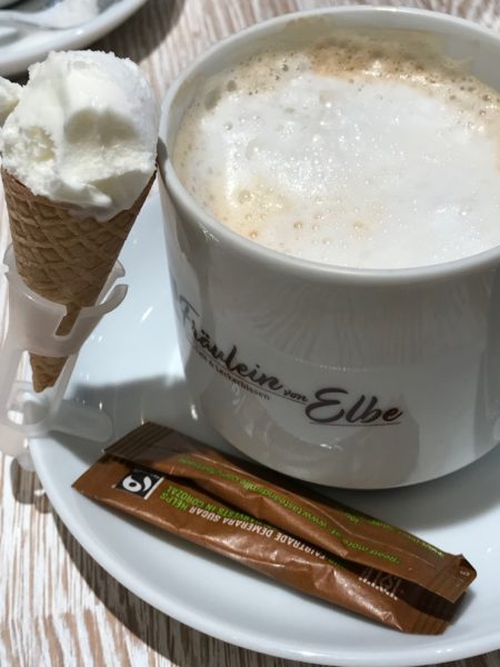
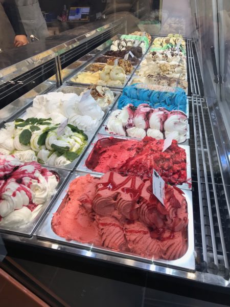
Just before returning to the ship, we stopped for a cappuccino. Every cappuccino at Fräulein von Elbe: Eis, Cafe and Leckerbissen (Ice Cream, Cafe and Delicacies) is served with a side of gelato. I approve of this tradition.
 

Day 10: Afternoon in Hamburg

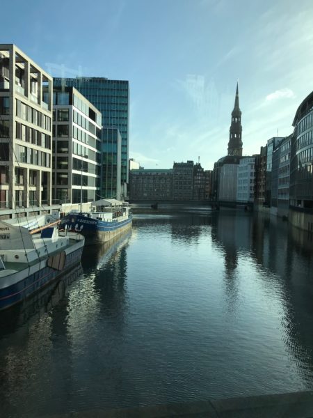
A drive through Hamburg revealed a city with an extensive canal system. Hamburg has more bridges over waterways than Amsterdam and Venice combined.

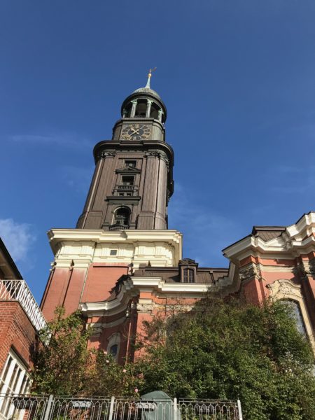
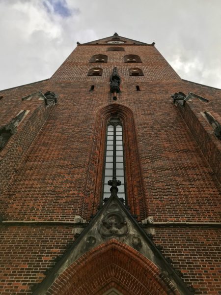
Our first stop on the included tour was at St. Michael’s Church. It is Hamburg’s largest church and one of its more famous landmarks. Its tower features the largest clock in Germany.

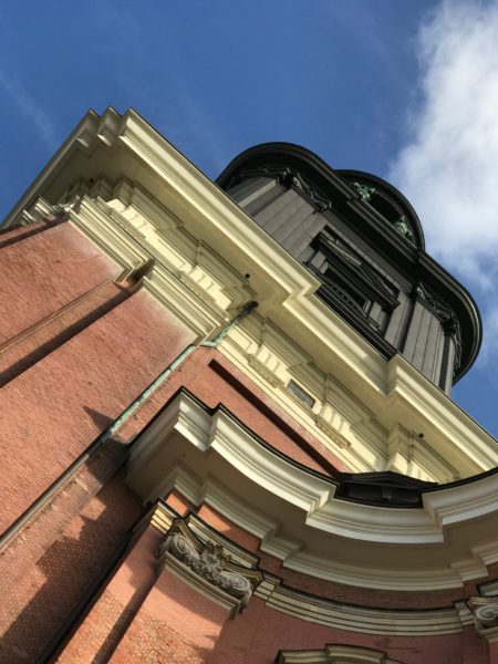
The church’s defining feature is its 432-foot tall copper spire that once guided ships on the river Elbe beneath. The current building is the third on these grounds: the first was struck by lightning in 1750 and burned to the ground, and the second was destroyed by fire in 1906.

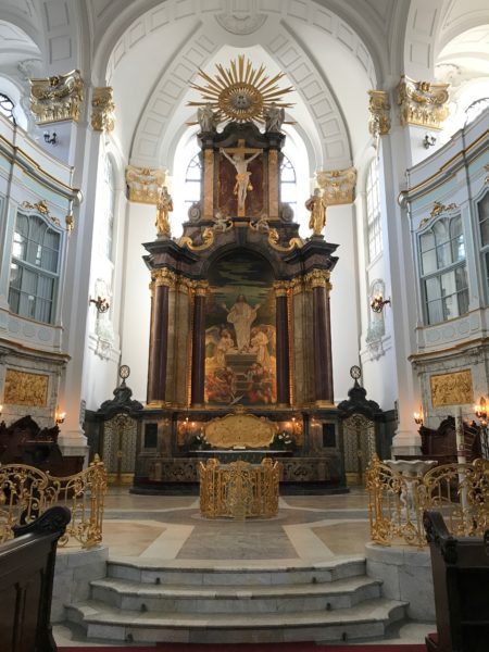
It’s the only church in Hamburg that was specifically built as a Lutheran church; the others were Roman Catholic and changed to Lutheran during the Protestant Reformation. It’s quite elegant.
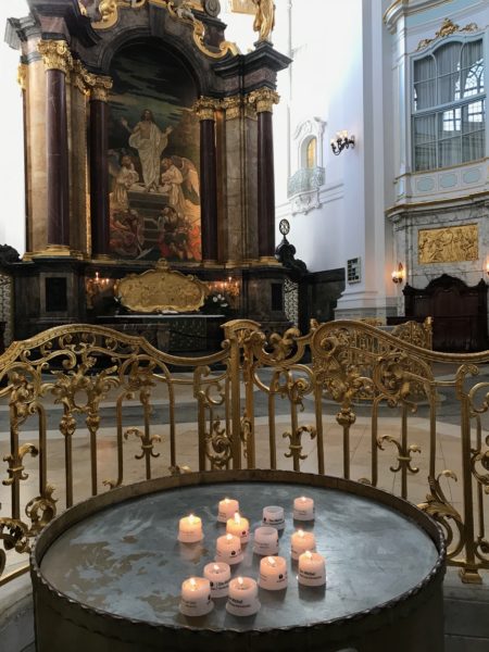
The altar is 65 feet tall and was built from costly marble in 1910. The altar features three sections illustrating key scenes from the life of Christ — the Last Supper, the Crucifixion, and the Resurrection.
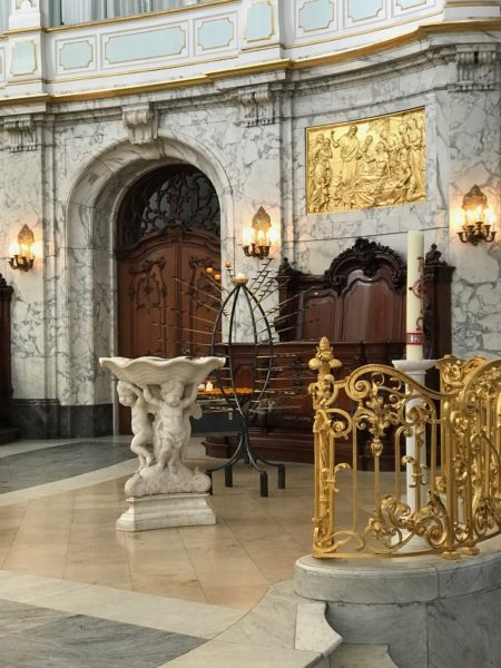
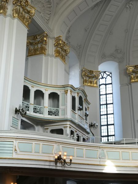
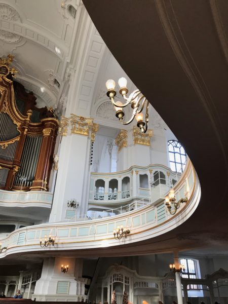
Made from white marble, the baptismal font was crafted in Livorno in 1763 and donated by Hamburg merchants who lived there at that time. The baptismal font is shaped like a seashell and supported by three cherubs. The church is filled with curving balconies and loge boxes.

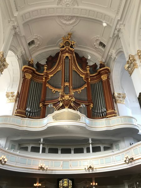
There are five impressive organs in the church have a total of 6674 pipes. That is a lot of musical output.

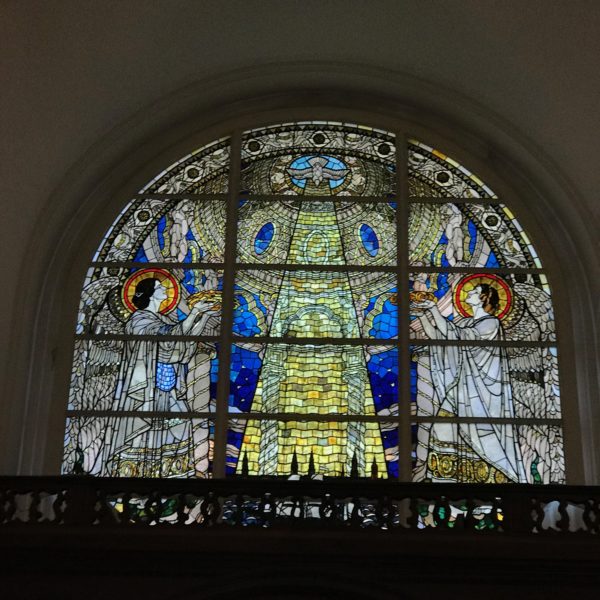
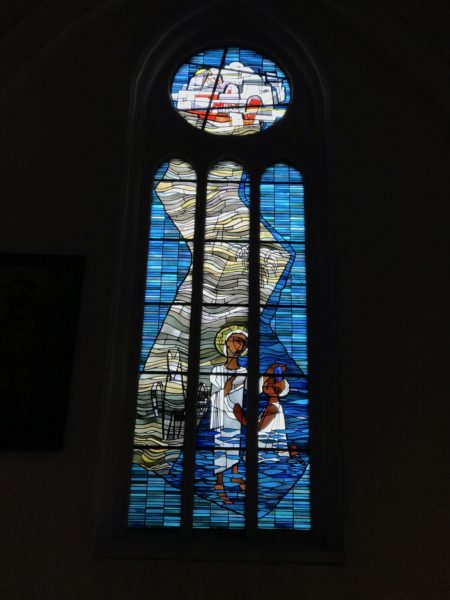
Stained glass window features a lighthouse.

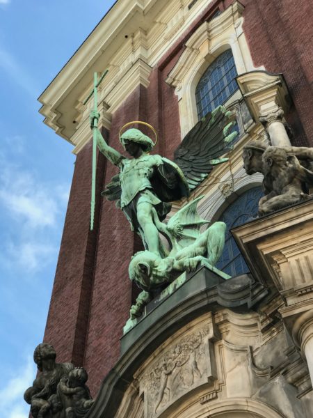
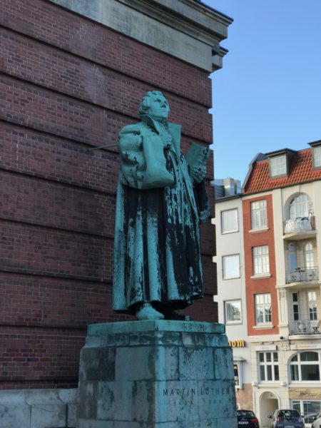
An impressive bronze statue of the church’s patron saint, the archangel Michael, decorates the entrance. A statue of Martin Luther at the side of the church.

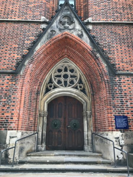
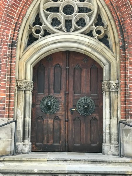
The church’s exterior was fascinating to both observe and photograph — so many layers, so many curves to draw the eye, so much detail.

We stopped in the City Centre and walked to see another church – St. Petri — but it was German Unification Day and most buildings and stores were closed for the holiday.

From the church’s front sign –- St. Peter’s is in the oldest parish church, with records going back to 1195. Rebuild in the 14th century, additions 15th century, destroyed in the Great Fire of 1842. Rebuilt 1844 to 1849 on old site.

I think it might have been a bit prettier if the sun shining on those old bricks.

More Hamburg in the next post.


Day 9: Cruising the Kiel Canal

From my journal dictated October 2, 2018 19:00

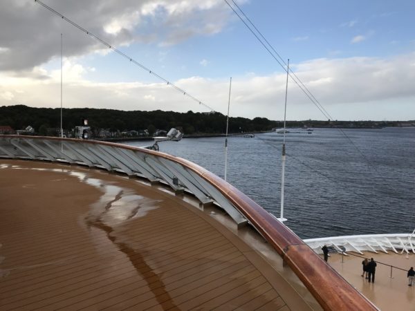
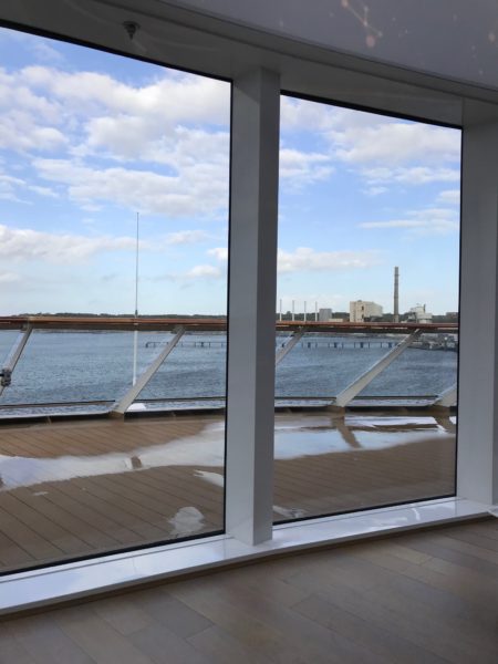
The plan was to set sail and enter the Kiel Canal around 4 PM. However, due to strong winds, the ship had to wait for a tug escort, thus we were delayed by several hours. Still, it was enjoyable sitting on the Explorers Lounge, watching both the people waiting with anticipation and nearby ships plying the choppy waters.

We were scheduled to travel through the Kiel Canal all night long and reach Hamburg around noon. The 62-mile-long Kiel Canal links the North Sea and the Baltic Sea. More than 30,000 ships pass through the canal every year and it is ranked as one of the world’s busiest artificial waterways.
If you like facts and figures, this information about the Kiel Canal from the Encyclopedia Britannica is perfect:

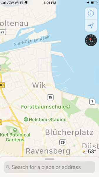
Kiel Canal, also known as the Nord-Ostsee-Kanal (North Sea–Baltic Sea Canal) is a waterway in northern Germany, extending eastward for 61 miles from Brunsbüttelkoog (on the North Sea, at the mouth of the Elbe River) to Holtenau (at Kiel Harbour on the Baltic Sea). The canal has been enlarged twice and is now 526 feet wide and 37 feet deep and is spanned by seven high-level bridges that have about 140 feet of clearance for ships beneath them. The locks are 146 feet wide by 1,072 feet long. The canal constitutes the safest, most convenient, shortest, and cheapest shipping route between the two seas.

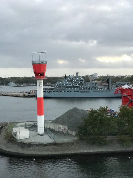
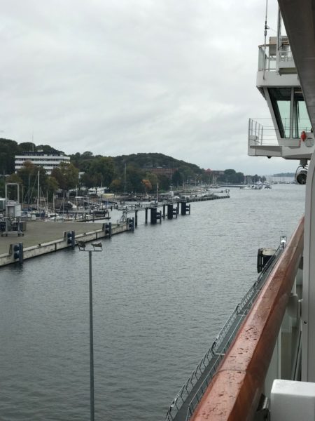
Here is Kiel Harbor on the Baltic Sea and the begining of the canal.

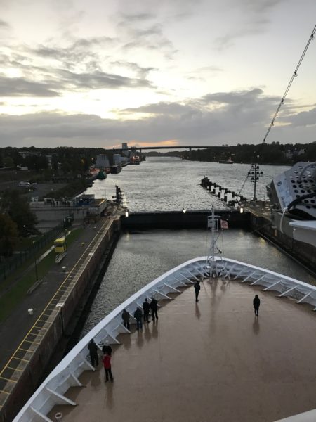
And here is the bow of the ship, nosing her way into the locks. The Viking Sky is 745 feet long with a beam of 94.5 feet so it was an easy fit inside the locks, but with the winds pushing us around it felt like we were much closer to the sides of the locks than in actuality.

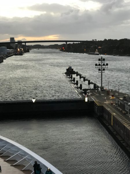
Once we were inside the locks, the front gates slid into the side walls and we were free to pass.

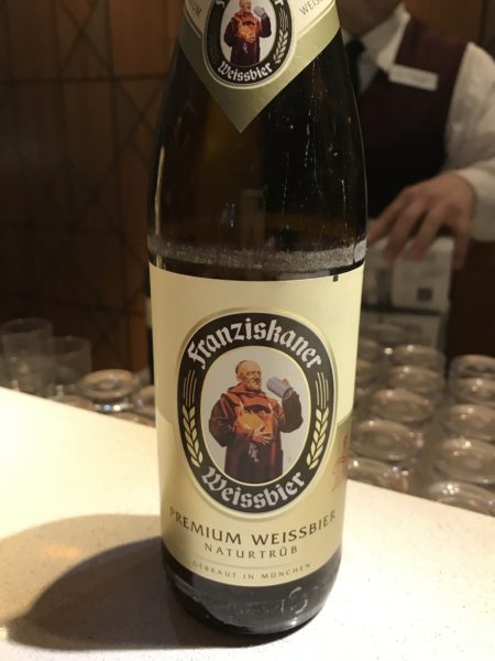
After that sailing highlight, it was time for an eating/drinking highlight — the buffet offered a variety of German beers and German food including bratwurst. It felt almost like being back in Wisconsin!

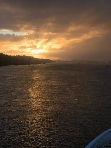
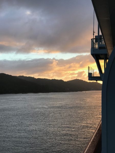
And of course, the obligatory picture of setting sun, this one taken as we cruised through the Kiel Canal.

And here’s the sunrise, twelve hours later.

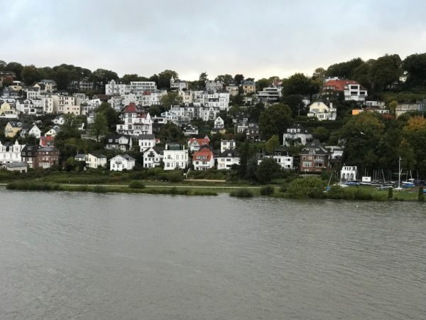
I was awake in time to see the ship exiting the locks at Brunsbüttelkoog and then we sailed the Elbe River making our way to Hamburg. We passed small towns with rows of terraced houses and views of the river. We arrived in Hamburg about noon.


Day 9: A Gray Day in Kiel Germany

Parts are from my dictated journal dated October 2, 2018, 16:45

A brand new country — Germany. (Birthplace of many of my ancestors, though we are visiting the far north regions of Germany and many of my “great-greats” were from the Bavarian region.)
Kiel felt grey all day.  I know it didn’t help that we had overcast skies and lots of rain, and that Kiel is more industrial and less historic. Since much of the city was demolished in World War II, it makes sense that the city has a different feel than places like Oslo or Aalborg. Even the older looking buildings have all been built after WWII. Perhaps if we were to return when it is summer and blue skies are prevalent, I might have a different take.

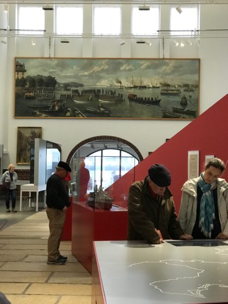
Today’s weather was inclement and I’m continuing to favor a bum leg, so we chose to stay in town rather than take the 5+ hour tour to Lübeck. We scheduled a replacement tour to the Kiel Maritime Museum which was only a quick walk from where the ship was docked.

Kiel Maritime Museum Source: Rüdiger Stehn / flickr

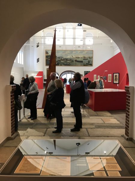
The maritime museum (Schiffahrtsmuseum) is in a former fish market hall at the Kiel harbor and its building was my favorite part of the museum. I have no photos of my own of the outside, because it’s hard to take photographs when in pelting cold rain, but here is a photo taken when the sun was shining. Source: Rüdiger Stehn / flickr

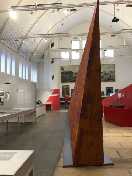
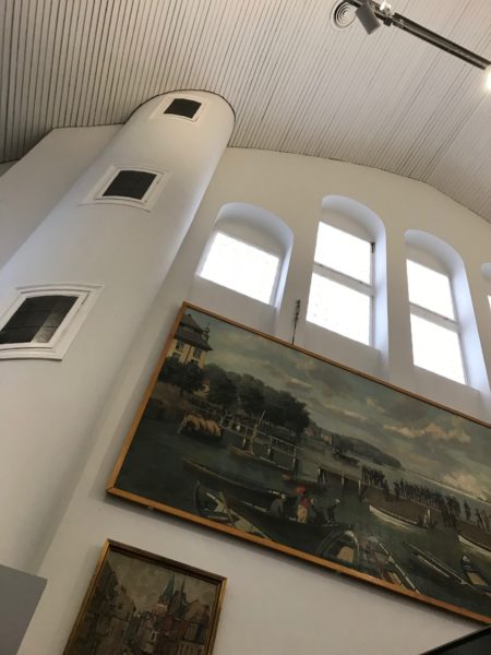
I’m quite taken by the idea of rehabbing old buildings and repurposing them, and Kiel’s Museum has been done with fine execution. The museum was large and open and filled with a wonderful soft light, all features that made the museum an inviting space.

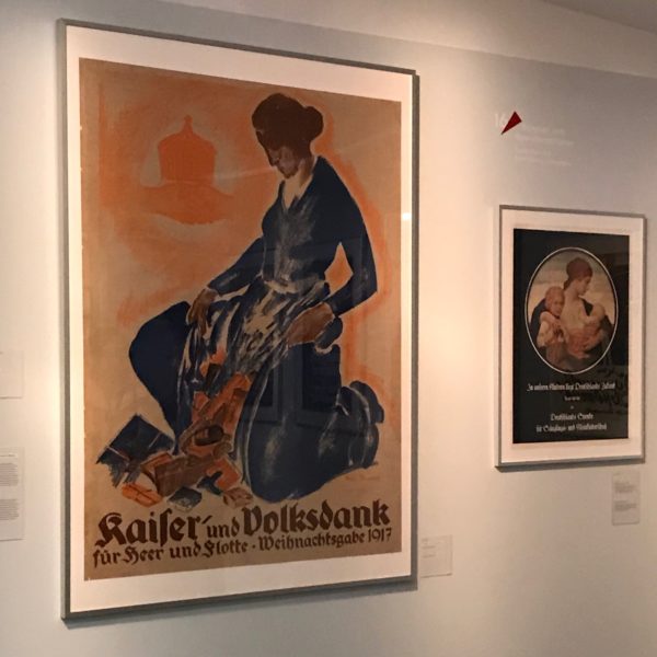
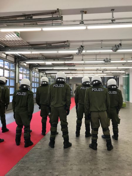
The current exhibit was an installation titled 1918 and focused on a time of great change for the German military.

The beginning of the unwinding of the German monarchism started in Kiel in 1918 when the military commanders ordered their fleet to sail for one more battle after a series of staggering defeats and the sailors staged a revolt and refused.

Although I see the usefulness of documenting history, I don’t especially enjoy touring war history museums. And this exhibit was all about World War II. That bias admitted, those in the audience who were interested in history, including Bob, found the exhibits well done and informative.

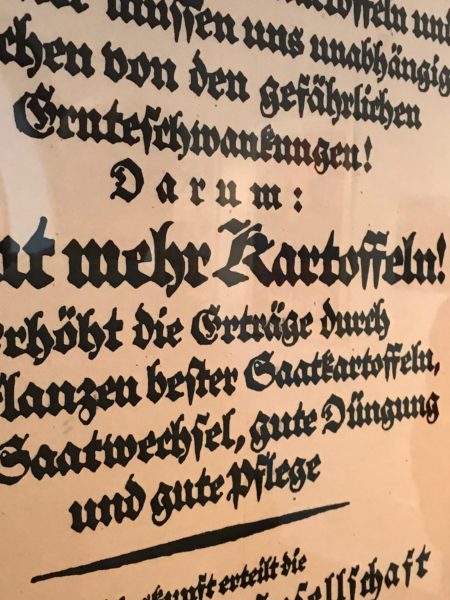
The posters of propaganda, and the stories behind them, were interesting, and I was fascinated with the well crafted calligraphy in the hundred year old posters. All documentation of a time when great sacrifices were demanded of the German citizens, all with the promise of imminent victory, and the people sacrificed everything; they also lost everything.

After our Maritime Museum visit, we walked towards the city center. Still raining, still cold. We headed for Stadtgalerie Kiel (Kiel Municipal Gallery of Contemporary Arts and what we hoped to be a promising contemporary arts museum, but once inside we discovered the current exhibit was about — war. Ugh! No desire to spend much time here, but we did do a quick walk through.

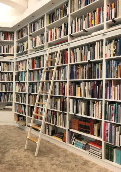
We discovered a tucked-in-the-back art library which looked oh-so-enticing.

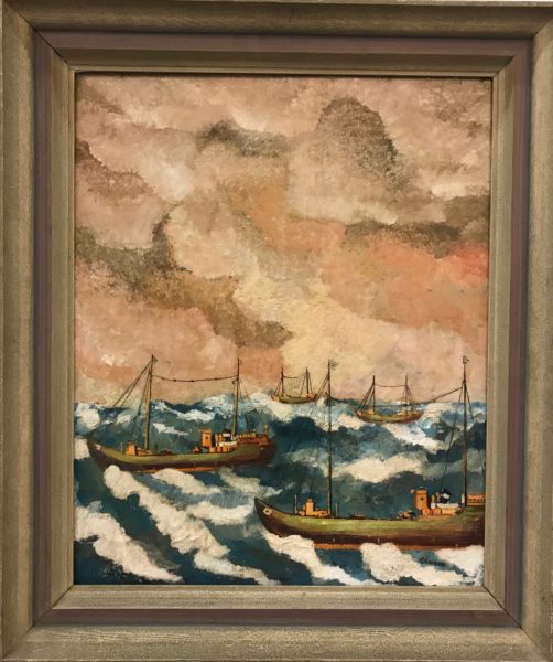
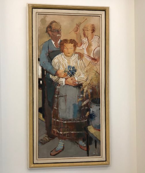
This museum houses a permanent exhibition of the works of the Expressionist artist Heinrich Ehmsen who was a Kiel native.

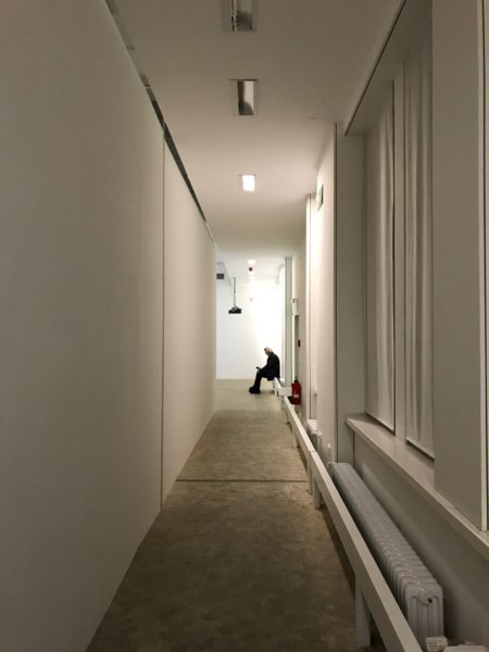
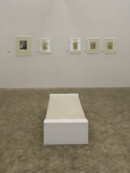
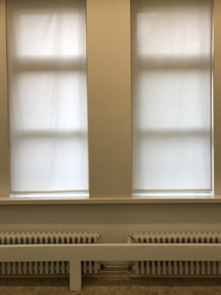
I finally ended up taking photographs of the art gallery itself-–a long hallway with a single patron, five paintings and a bench, symmetrical windows and radiators. All Miksang-like photos.

Then we left and I bought a leather jacket and Bob bought a beer. These activites redeemed the day.

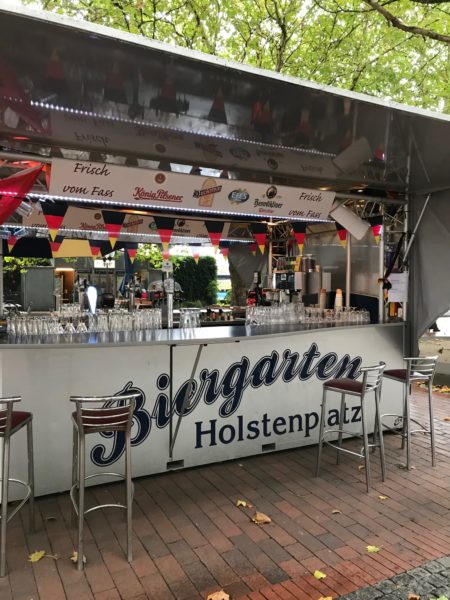
Biergarten Holstenplatz © 2018 Bo Mackison

Here’s the site of the Biergarten Holstenplatz which offered a variety of local beer.

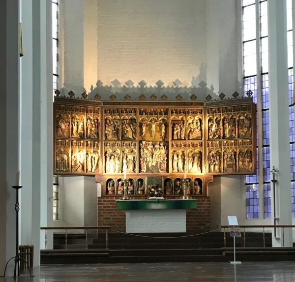
St. Nikolai Wing Altar ©2018 Bo Mackison

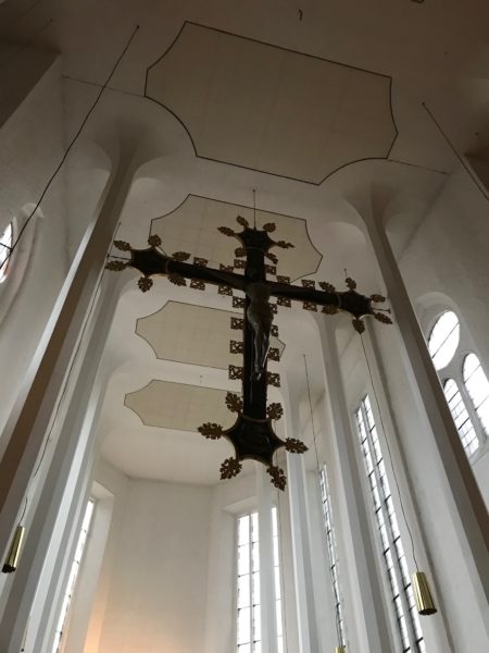
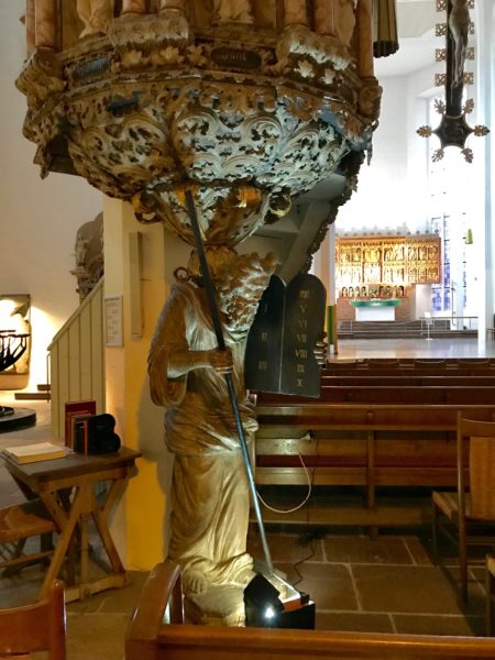
It’s hard to pass by a church without going in. St. Nikolai was no exception. The old church was destroyed during the war, but the church’s art was hidden and was later returned to the church after it was rebuilt.

This highly ornate wing altar was carved in 1460.

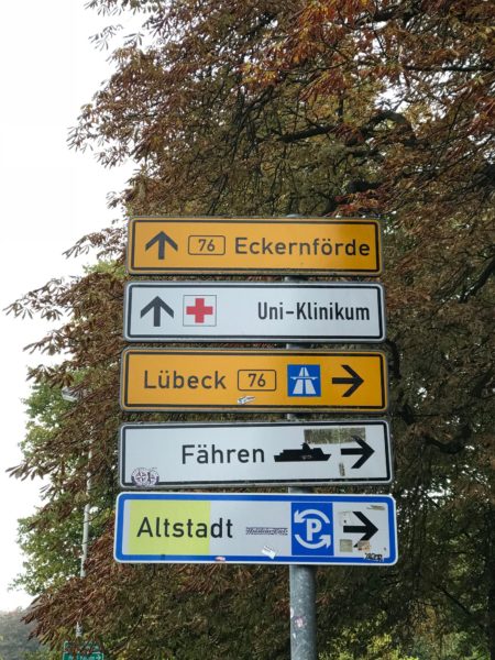
We frequently saw word “fahren” on street signs, a word that always caught our eye as it is a part of our surname.

Fahren: to drive, move, pass, run.

We returned to the ship midafternoon in preparation for an early departure me. There were a few openings in the gray clouds and the blue sky was most welcome sight.

Next we are heading through the Kiel Canal on our way to Hamburg. The 62-mile-long Kiel Canal links the North Sea and the Baltic Sea. More than 30,000 ships pass through the canal every year, which ranks it among the world’s busiest artificial waterways.

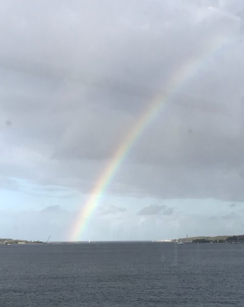
Here’s a rainbow farewell.

Day 8: Surprises Await in Fredericia, Denmark

Welcome Rainbow over Fredericia © 2018 Bo Mackison

Parts are from my dictated journal dated October 1, 2018 — a brand new month!

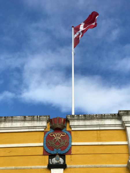
Leaving the dock area and ready to explore the small town of Fredericia, there were all sorts of interesting sights to see. First, a row of Danish flags accompanied by a rainbow to welcome us.

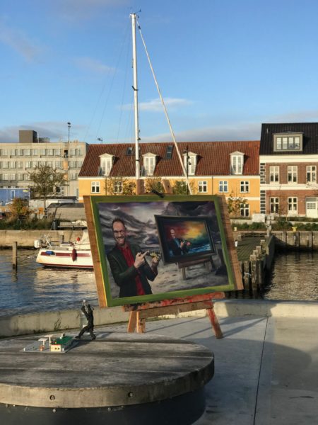
Next, working tugs, made luminescent in the golden light. And an artist’s display with an infinity painting and miniature set up on the side –and no artist anywhere in sight.

Fredericia Harbor © 2018 Bo Mackison

Picture perfect harbor. We started walking, Bob and I following the guide at a quick pace. Cobblestones. Who ever thought those bumps of rock were a good enough idea that they should last for centuries, they might have had a stronger constitution than the one I possess.

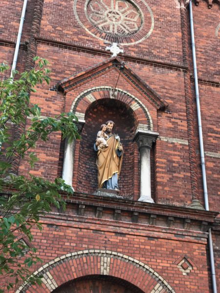
We charged past a few churches, but there wasn’t much time to take photographs. I did get this photo of Joseph and Child, but we didn’t have time to go inside. Not my favorite way to see a place, but sometimes it’s better to compromise and get an overall feel for a place.

Fredericia Old City Hall © 2018 Bo Mackison

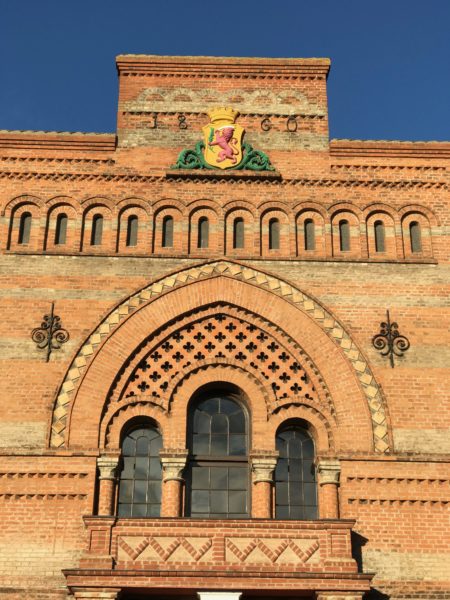
We did pause in front of this building. What a beauty from a different time.

From VisitLillebaelt website: The former Town Hall, named after architect Ferdinand Meldahl, was inaugurated on July 6th, 1860. Meldahl is also the architect who designed the Marble Church in Copenhagen and “Tinghusene” the council buildings in Aalborg.

Fredericia’s coat of arms with the motto “Pro pace armatus” (“Armed for peace’) is a very precise expression of Fredericia’s historic importance as a defensive installation.

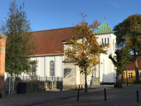
St. Michael the Archangel Church © 2018 Bo Mackison

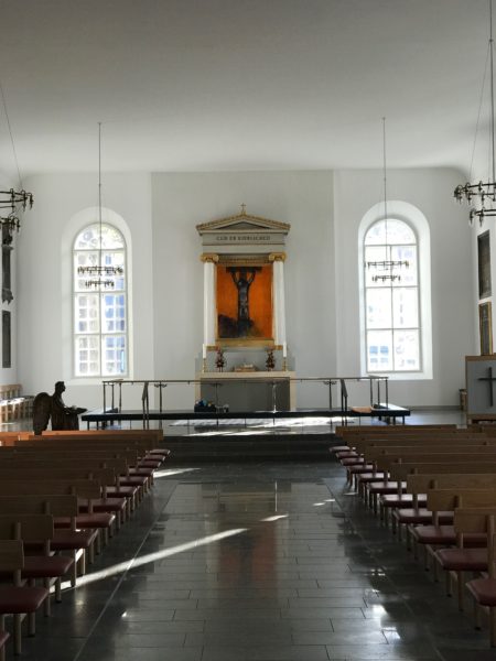
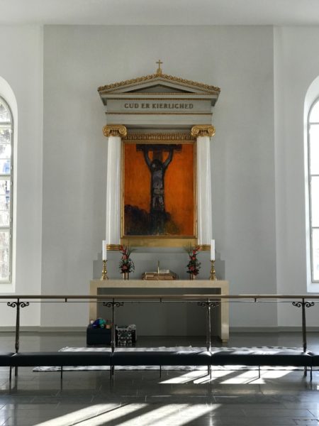
We did have quite a bit of time to explore St. Michael’s Church — both the interior and the churchyard. And it was well worth exploring. Recently renovated, its simple design and ornamentation were quite remarkable.

From VisitLillebaelt website: St. Michael the Archangel Church was originally a German church because of lots of immigrants from the foreign countries in the south. From the year 1687 the garrison of the town belonged to the church and the church is still a garrison church as well as being an ordinary parish church.

The church does not have a tall bell tower because nothing inside the fortress town was permitted to be seen over the ramparts for the sake of safety.

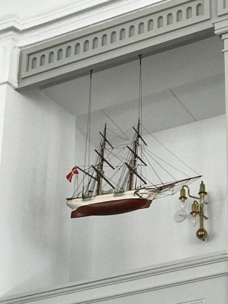
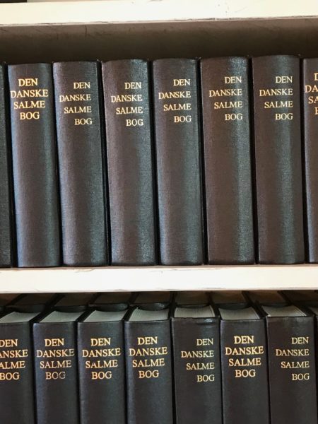
Interior details of St. Michael’s include the typical-for-Scandinavian-churches’ ship hanging from the rafters, a simple yet elegant chandelier, and a brass collection basket.

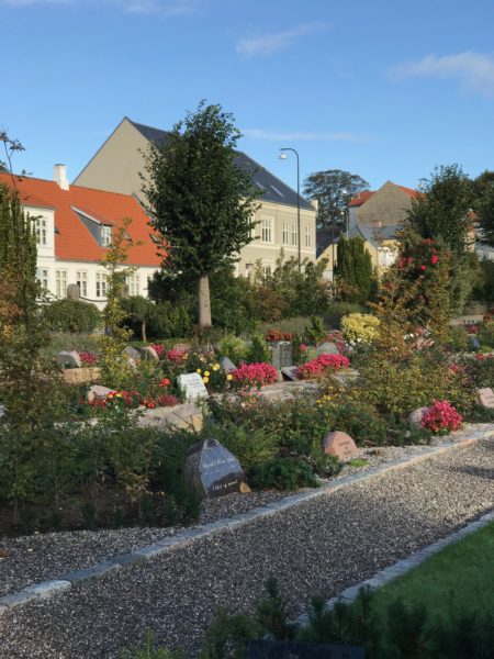
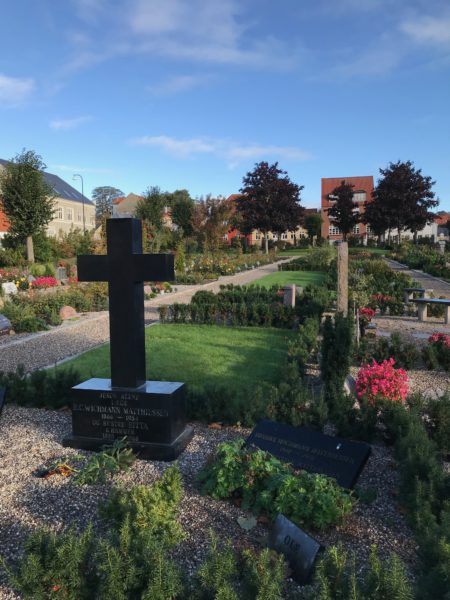
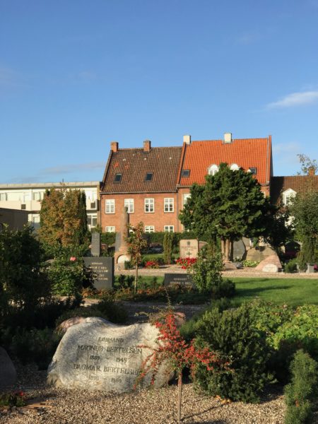
The surrounding graveyard is composed of well-tended family plots, more like a garden than a cemetery. Roses in bloom, lavender scenting the air, not a weed in sight.

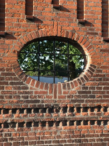
Just a photograph of the brick gate of the Jewish cemetery.

From VisitLillebaelt website: The Jewish Cemetery is an important historical testimony to the considerable diversity of Fredericia’s population throughout centuries. With 550 graves it is the largest Jewish burial ground in Denmark outside of Copenhagen.

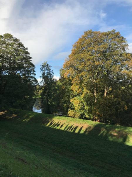
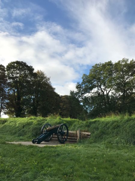
From VisitLillebaelt website:  Fredericia is home to one of the largest and most well-preserved ramparts in Northern Europe. It is still complete with bastions, ravelins, moats and even cannons.

Today the fortification forms a peaceful and beautiful frame around the oldest part of Fredericia. The ramparts were built to strengthen Denmark’s defences in a time of war in Europe. The ramparts were built in 1650 by farmers, soldiers and convicts.

Fredericia once had six historic gates protecting the city; only three remain.

From VisitLillebaelt website: The oldest of the gates is the Prince’s Gate which in its current shape dates back to 1753. The gate replaced an earlier ramshackled wooden gate. The architect behind the Prince’s Gate was Officer and military architect Samuel Christoph Gedde.

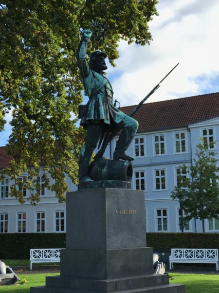
The Foot Soldier statue is of a Danish soldier located near the Prince’s Gate, one of the historic entrances to the city. The people of Fredericia are proud of this statue because it honors the foot soldiers of the military, not the generals.

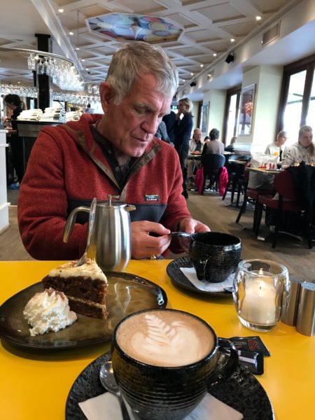
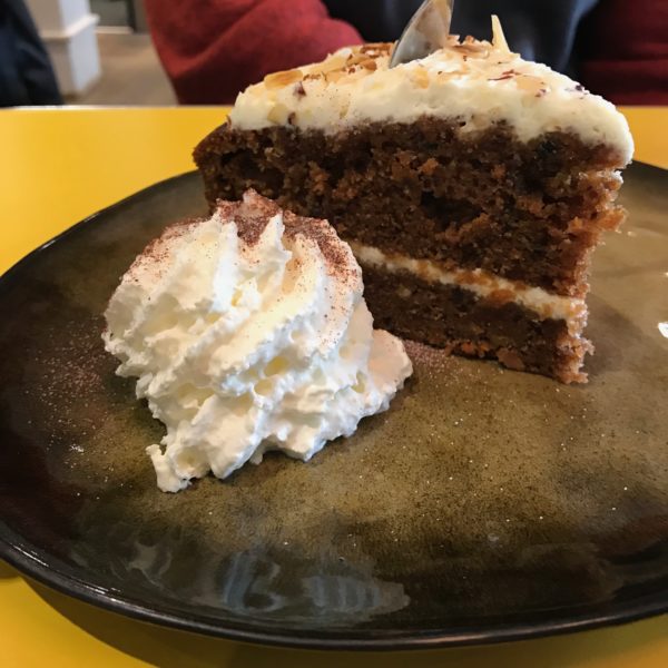
We left mid-tour and went on the search for a coffeehouse. We found Cafe Vivaldi. Because it was cold and we were a bit fatigued from our walk through the city streets and fortification site, we ordered cake and coffee for our lunch. The carrot cake and cappuccino revived us nicely.

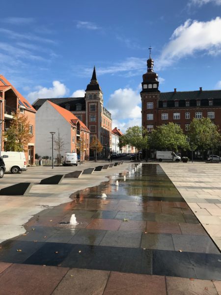
A city park/square complete with surprise fountain area.

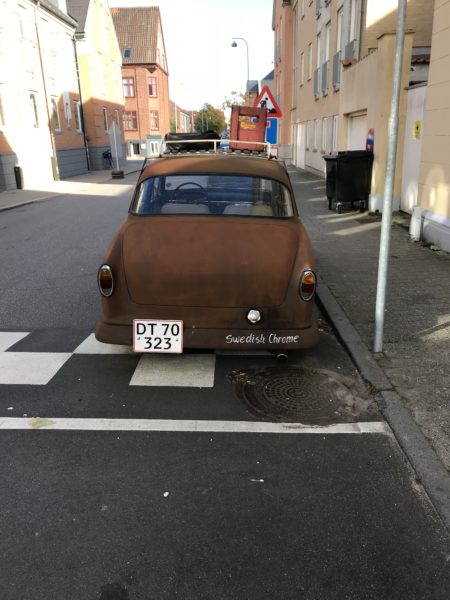
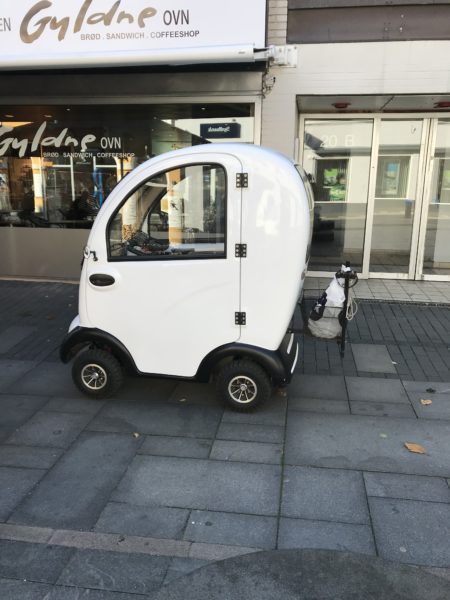
Cars in Fredericia of the small variety. The rusty one bears the name “Swedish Chrome.”

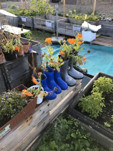
Gotta take a documentary photo of the boot garden!

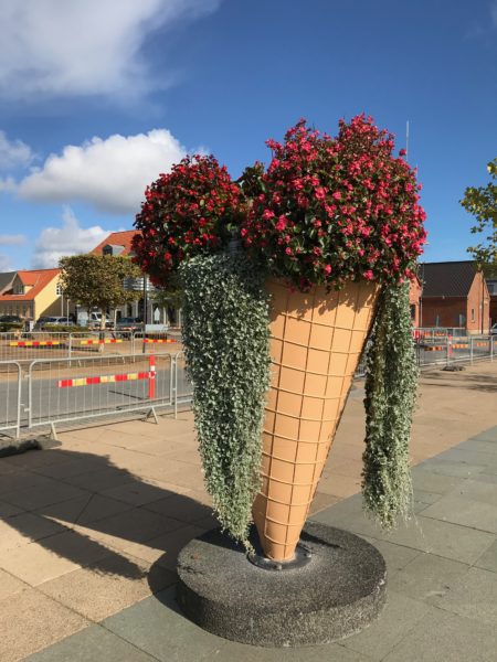
Also need documentary proof of the cone with its ice cream composed of dripping plants.

And at the end of the day, we pulled out of the harbor and headed into the sunset.

This evening we are on our way to Kiel, Germany and then we will traverse the Kiel Canal on our way to Hamburg.